

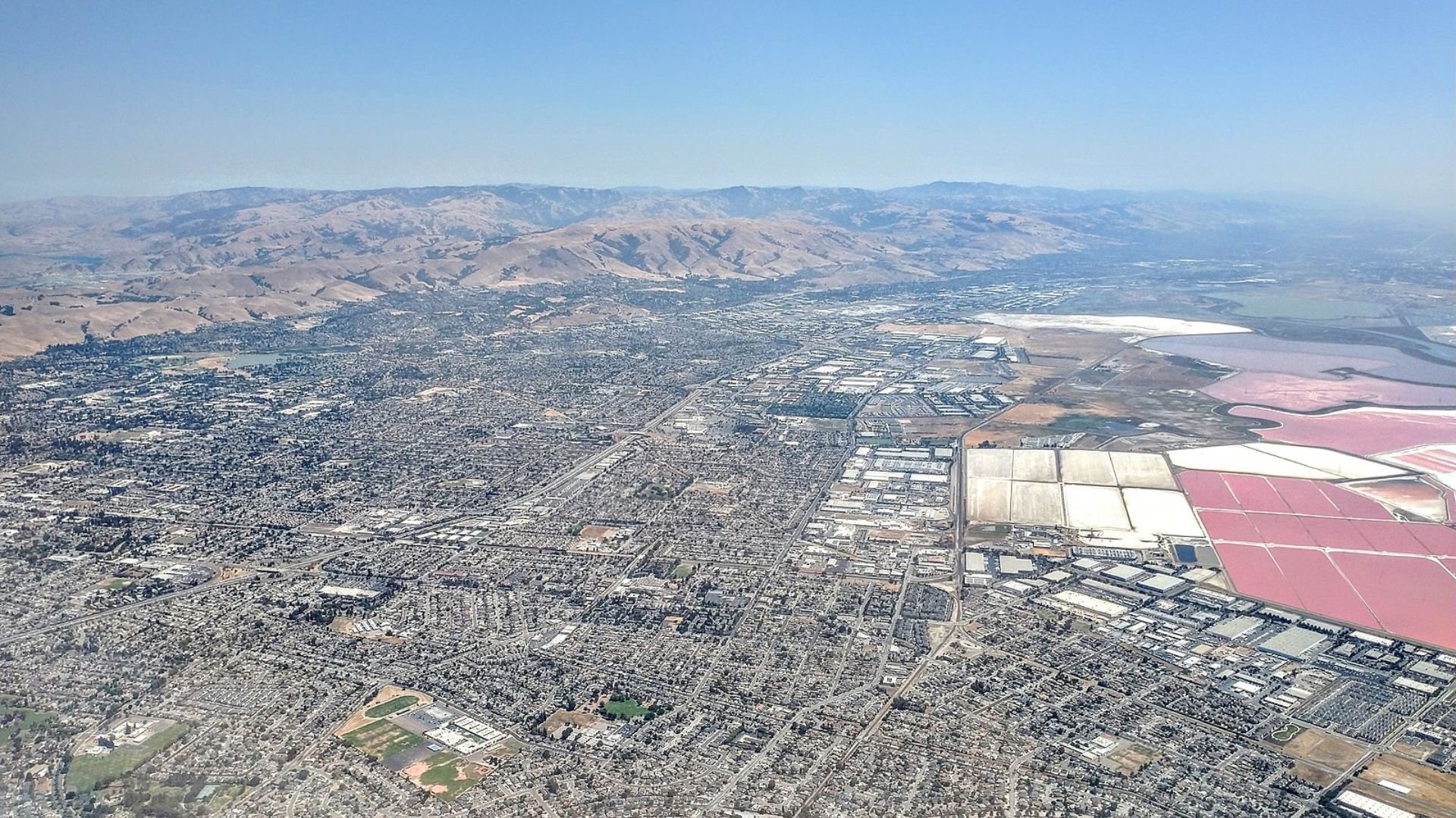
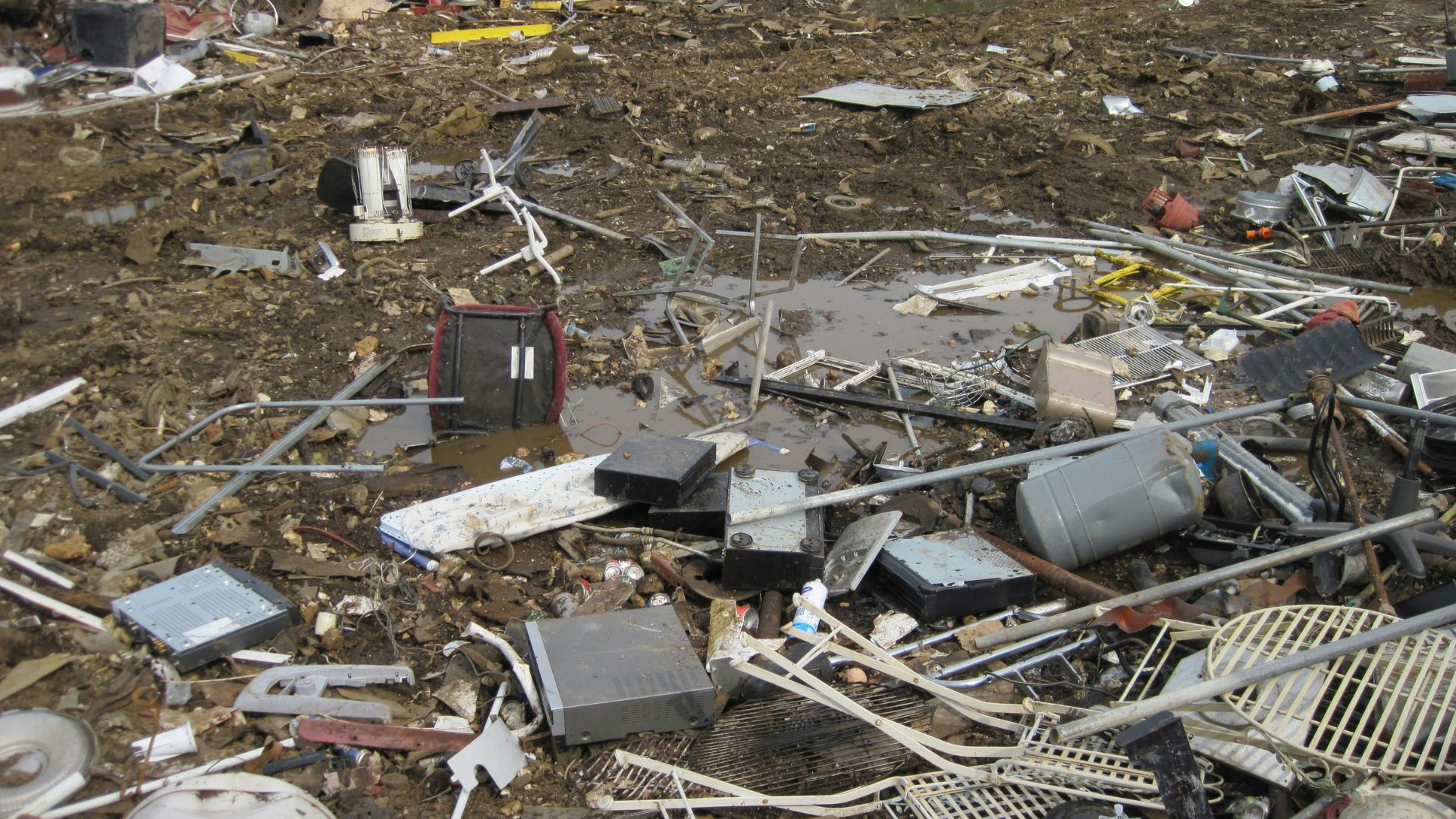
This week, a 4.9 magnitude earthquake shook southern California, reaffirming its reputation as one of America’s shakiest regions.
It’s got everyone asking again: Why does this area see so many quakes? Researchers are digging deep, looking for patterns and explanations in the data.
California vs. The Rest: Seismic Risks Compared

The “50-State National Seismic Hazard Model” tells us that California is more likely to experience significant quakes than other states.
This tool evaluates earthquake potentials nationwide, clearly marking California as a high-risk zone.
Tectonic Tales: California’s Deep History
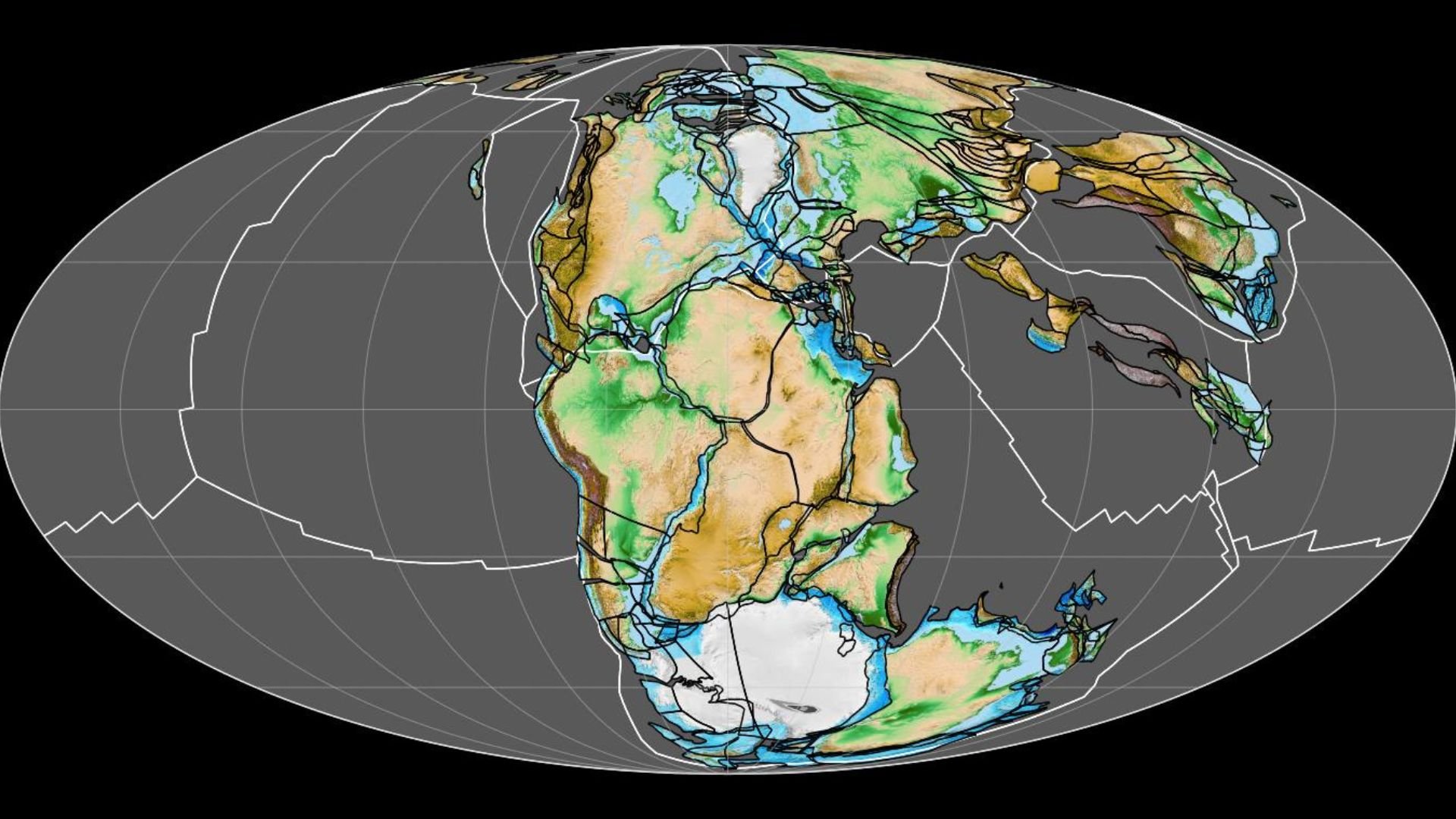
According to the USGS, California’s been geologically active “since the supercontinent Pangaea broke up approximately 200 million years ago.”
This dramatic past plays a big role in the frequent quakes we witness today.
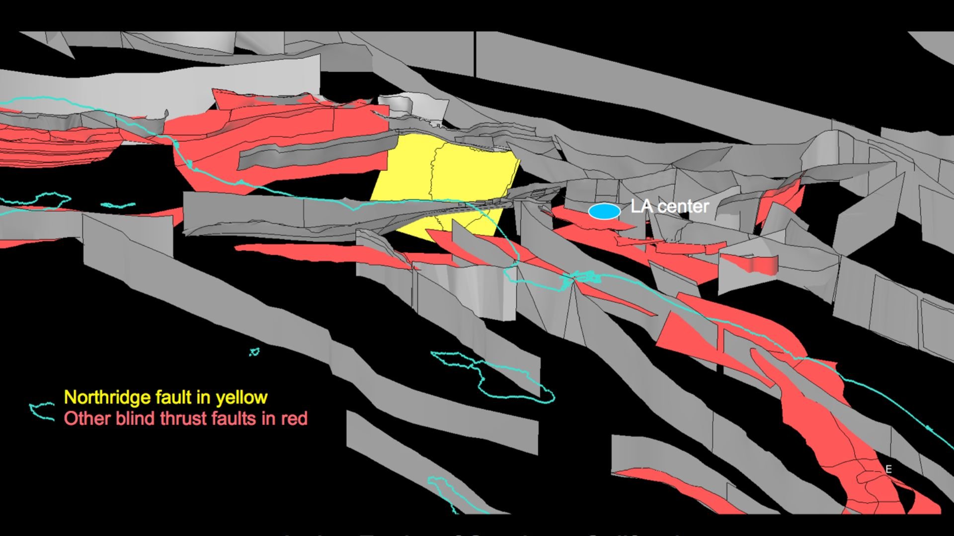
On the Edge: California’s Tectonic Drama
Why all the quakes?
California sits close to the western edge of the North American plate, a major geological boundary that keeps things lively, according to USGS research.
The Fault Line Dance
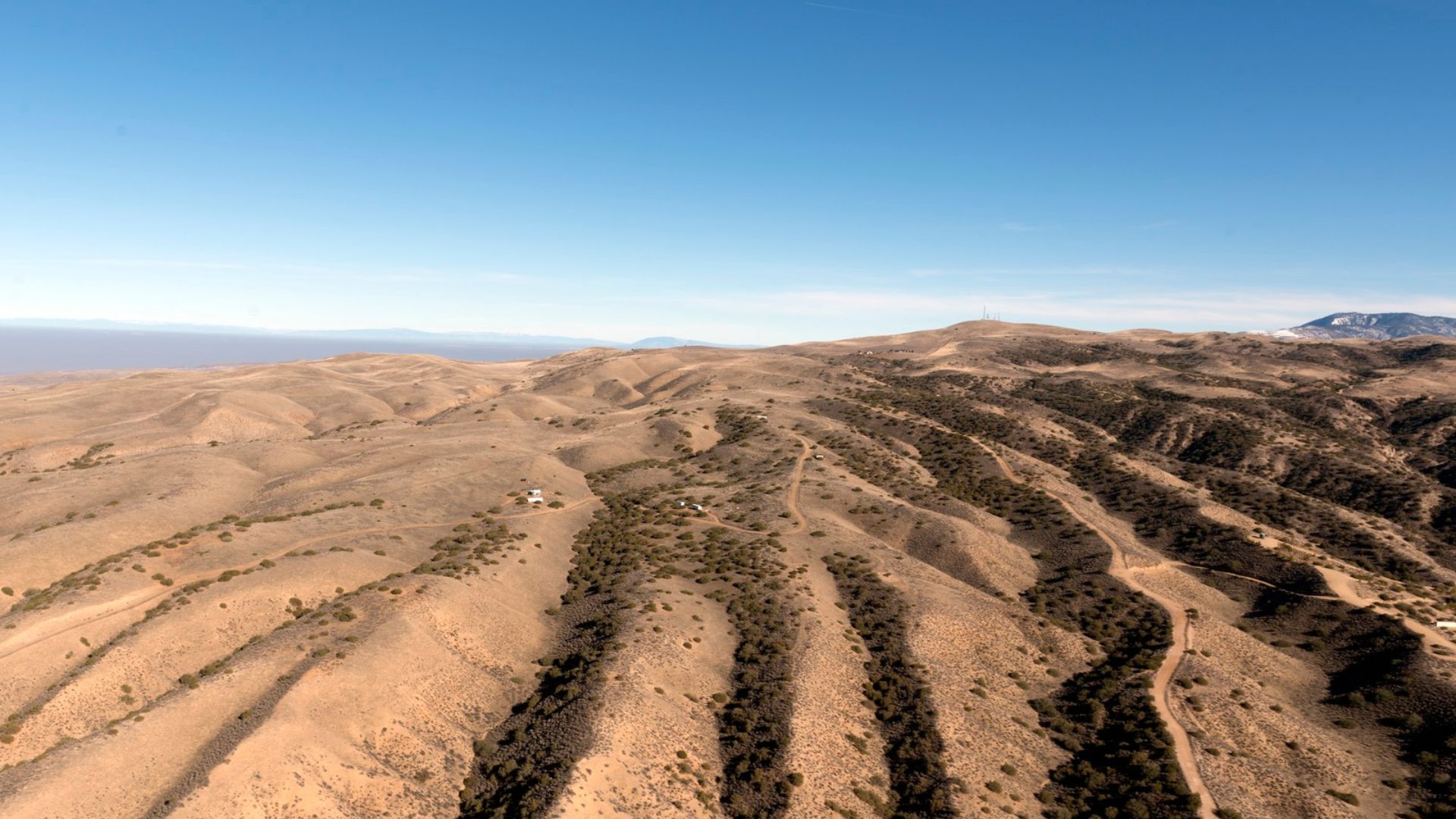
It’s all about the faults. The clash between the Pacific and North American plates has laced California with faults, each one a potential trigger for earthquakes.
These geological scars help explain why the state keeps rocking.
Earthquakes Know No Borders
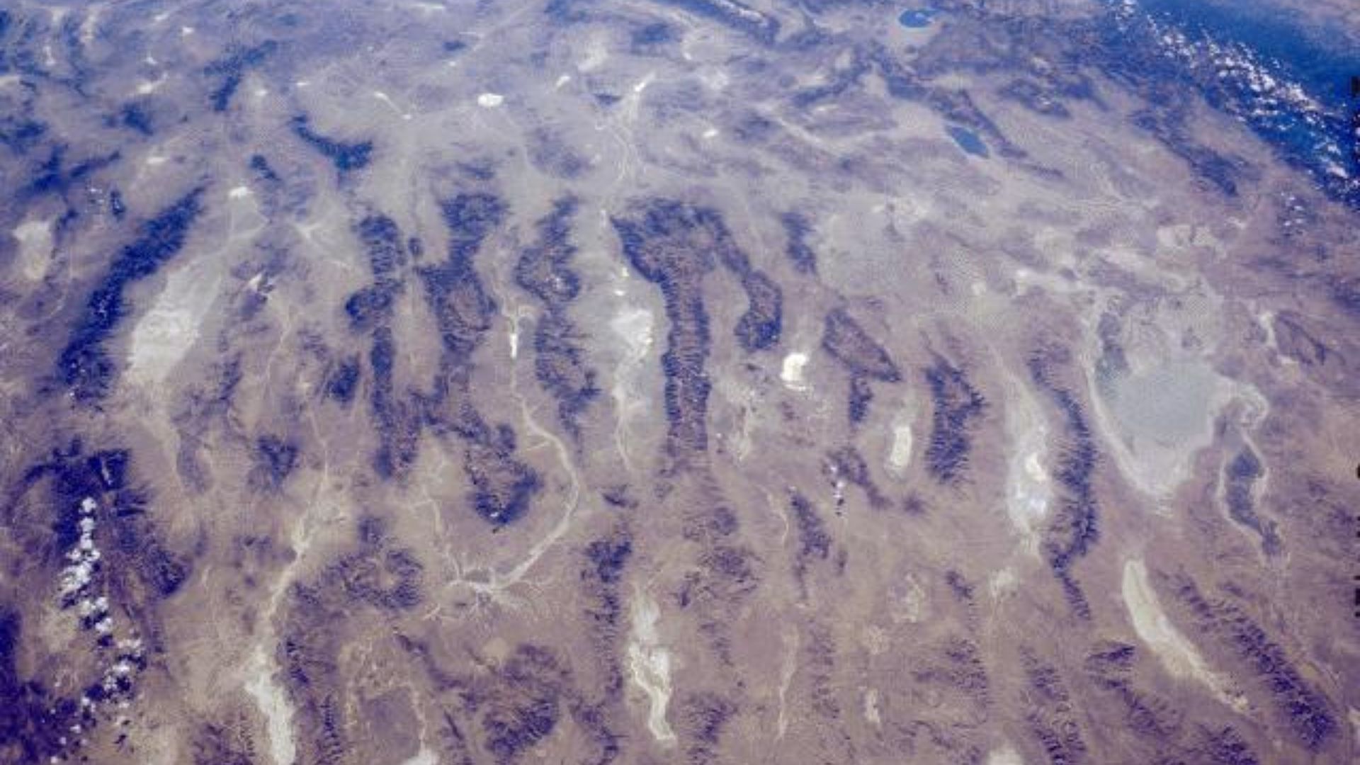
California’s seismic influence extends far beyond its borders, reaching into the Basin and Range province, which “is actively spreading and stretching westward.”
This area’s continuous transformation contributes to the broader seismic activity across the western U.S.
The Challenge of Earthquake Prediction
Predicting an earthquake with pinpoint accuracy remains elusive.
However, the National Seismic Hazard Model does offer some foresight into where the risks are highest, using cutting-edge science to map out the danger zones across all states.
Updating the Seismic Playbook
Last December, the seismic playbook got an update.
This included “new science on seismicity, fault ruptures, ground motions, and probabilistic techniques,” all thanks to a collaboration of more than 50 scientists and engineers dedicated to refining our predictions and preparations.
Earthquake Risks Beyond the West Coast
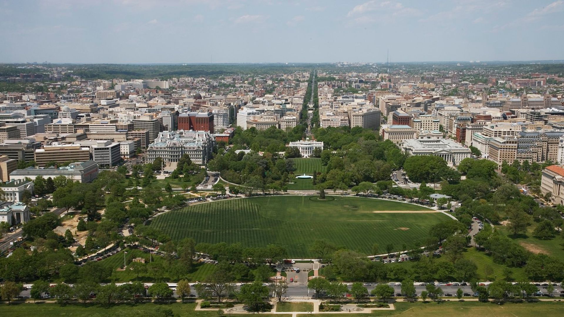
The spotlight often falls on California and Alaska for earthquake activity, but the updated NSHM points to significant risks along the Atlantic coast too.
Big cities like Washington D.C., Philadelphia, New York, and Boston also need to brace themselves for potential quakes.
Mapping Out the Risk
The detailed maps provided by the NSHM are more than just educational.
They’re practical tools used by planners and emergency services to prepare for the worst, showing where the ground is most likely to rumble.
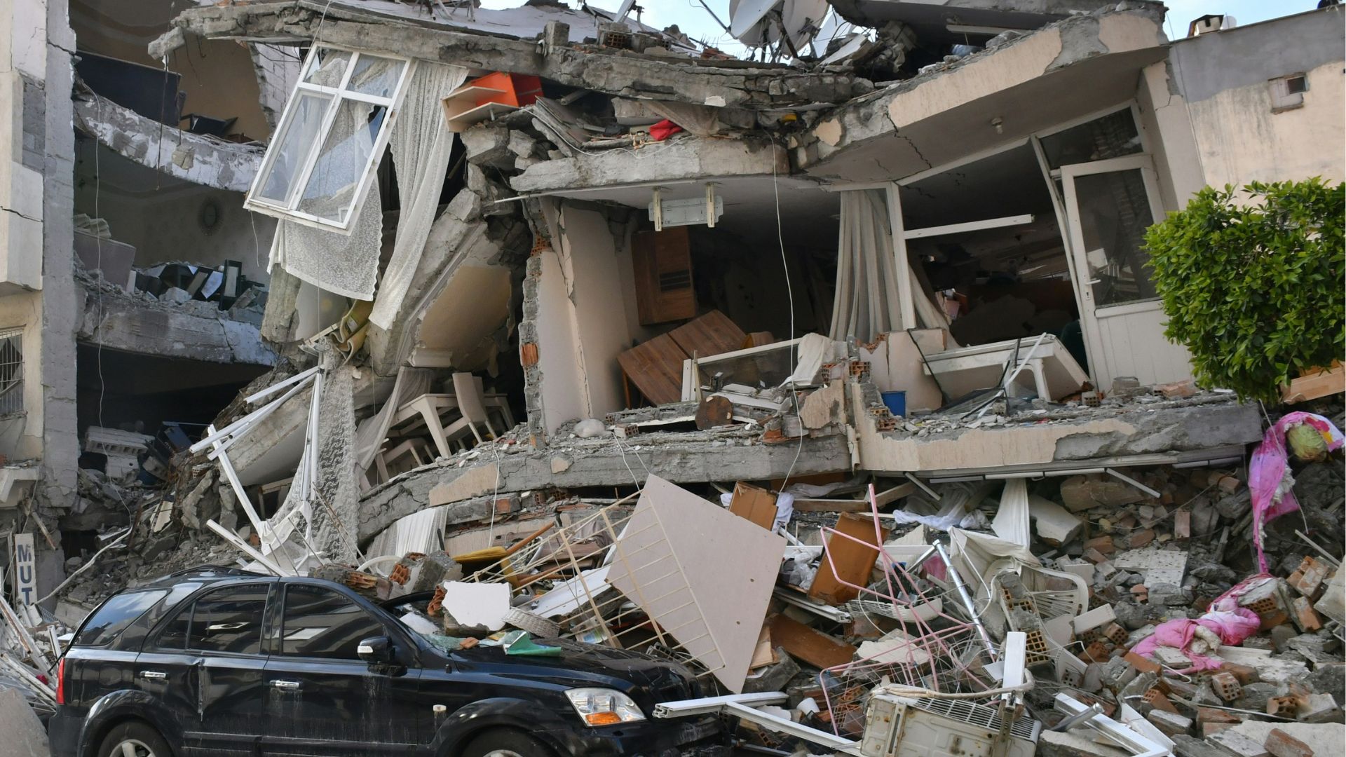
Preparedness is Key

For residents of California and other earthquake-prone areas, understanding seismic risks isn’t just academic—it’s a matter of safety.
Preparedness can drastically reduce the dangers and disruptions caused by earthquakes.
The Future of Earthquake Research
With each study, our grasp on earthquake science improves, leading to better preparedness strategies.
This ongoing research doesn’t just aim to understand the current patterns of seismic activity but also to anticipate changes and prepare for future quakes, enhancing resilience and safety for at-risk communities.