

Continents go missing? You heard that right. We’re taught in school that the Earth has seven continents: North and South America, Asia, Australia, Africa, Europe, and Antarctica. However, geoscientists define “continent” a bit more loosely than this.
They consider certain other landmasses made up of continental crust to be continents too. Many of these may be hidden from our view due to complete underwater submersion.
How Do We Know That Continents Go Missing?
How do geoscientists actually go about confirming the existence of lost continents? It has to do both with the passage of time and the composition of rocks. Generally, all confirmed or theorized lost continents are thought to be immersed portions of older “supercontinents.” These smaller pieces gradually drifted, twisted, and tore from their original landmass.
Researchers go about confirming their theories through the collection and analysis of sand, rocks, and the like. They look for geological evidence that matches the composition of continental crust. They also seek volcanic remnants that far predate a visible landmass’s regular composition.
Zealandia, Earth’s Eighth Continent?
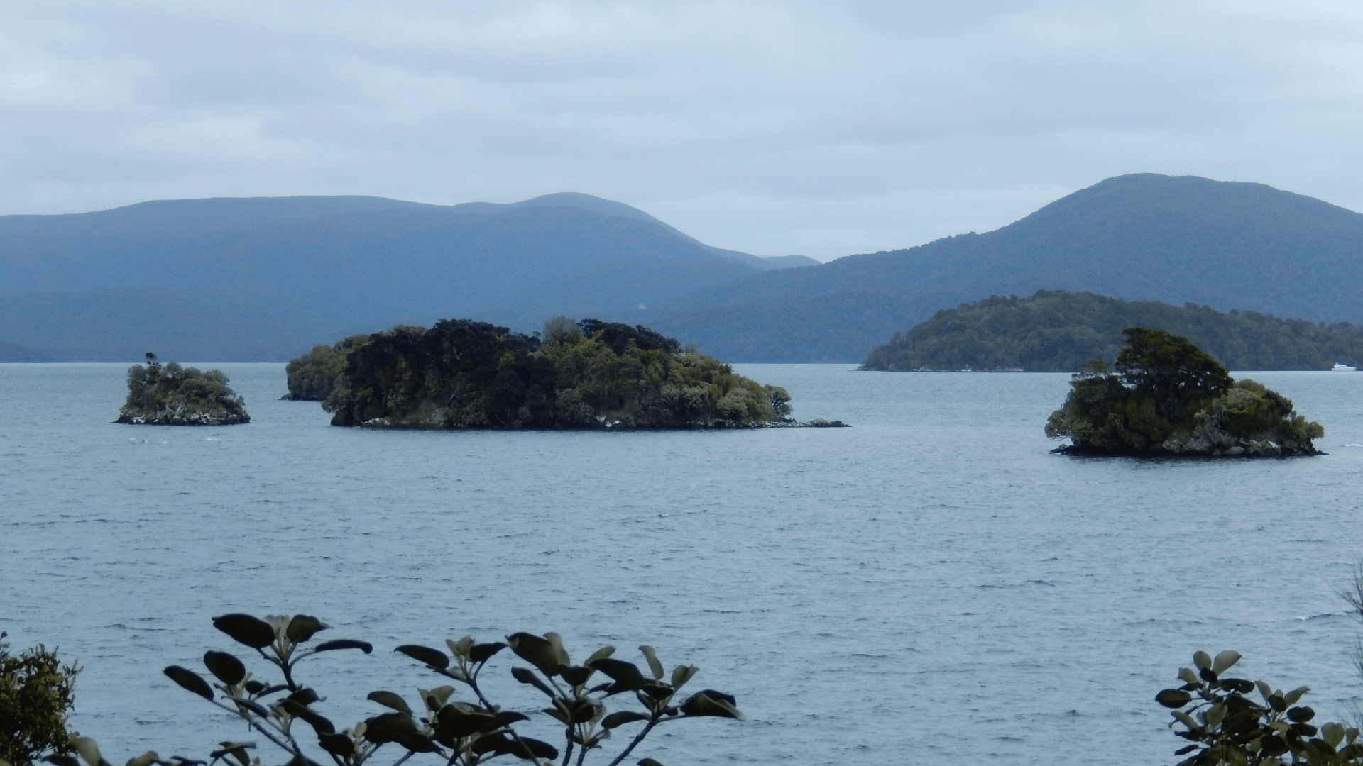
The most famous of these recovered continents is Zealandia, an almost entirely submarine body of land that was officially classified as the Earth’s eighth continent in 2017.
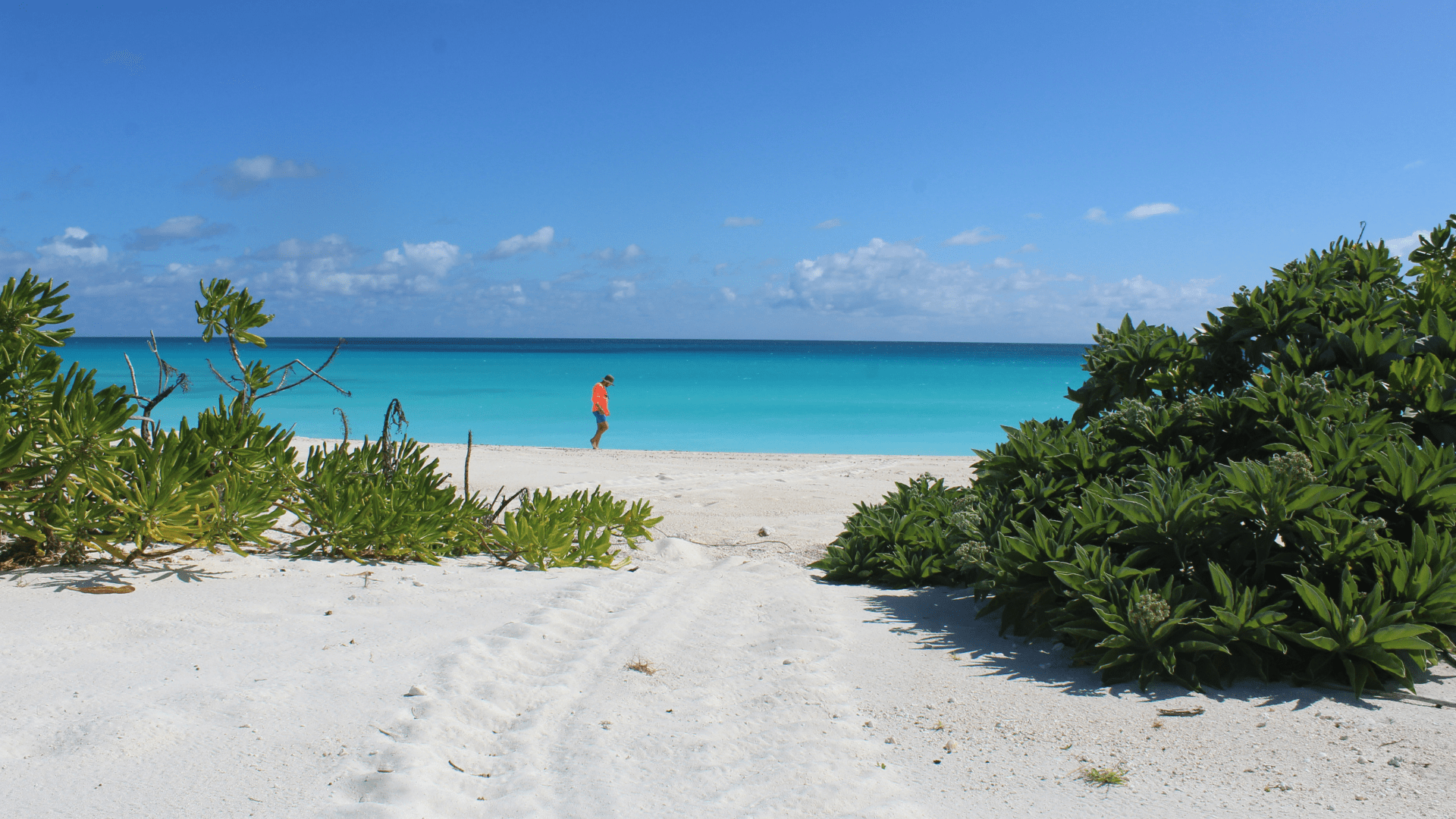
A meager 7% of Zealandia is above sea-level, and comprises New Zealand’s North and South Islands, Stewart Island, New Caledonia, and a few other small islets.
In Search of Zealandia

Zealandia was first discovered by Bruce Luyendyk while he was studying Gondwana, a piece of the ancient supercontinent Pangea that scientists now believe made up Australia, South America, India, Africa, and Antarctica.
Luyendyk made his discovery in 1995 after studying the region since the 1980s. He’d been trying to puzzle together Antarctica’s geological features and the coast of Australia. Over the course of the next two years, geoscientists from around the world confirmed that the Zealandia met all the requirements for continental status.
How Do Continents Go Missing?
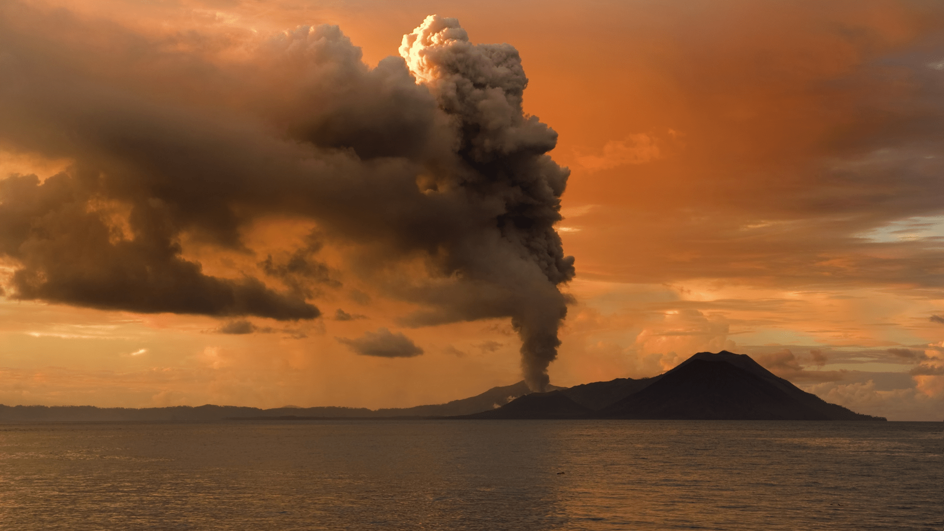
Scientists were initially stumped over how the massive continent of Zealandia receded into the ocean’s depths. They’d underestimated the role that volcanic activity and magma played in Gondwana’s fragmentation.
It turns out that there was a giant volcanic region running between Gondwana and Zealandia. As Zealandia thinned out and twisted due to plate tectonics, lava flowed between the cracks, eventually dislodging the eighth continent. It then gradually sank over a 20-million-year period due to the separation of two tectonic plates beneath it.
Mauritia, Drowned Microcontinent in the Indian Ocean
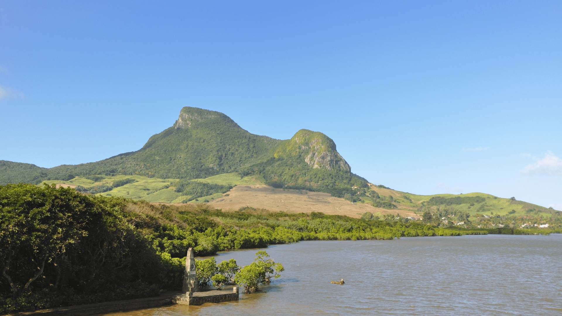
Off the eastern coast of Madagascar sits Mauritius, a small-island tourist destination famous for being the home of the extinct dodo bird. Scientists now believe that Mauritius is part of a now-microcontinent they’ve dubbed “Mauritia,” which was about one-quarter the size of Madagascar.
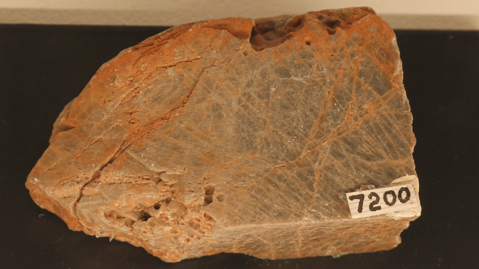
Researchers think that Mauritius, a relatively young island, belongs to a drowned and lost microcontinent due to the presence of the volcanic rock zircon in the island’s beach sand and other parts of the island’s solidified geology.
The Journey From Mauritius to Mauritia
Moving the scientific community to believe in the presence of a lost microcontinent near Madagascar was no easy feat. It took over a decade. The original attempt to recover zircon was done via crushing equipment that may have been contaminated with zircon from other sites. Thus, the evidence was dismissed.
A few years later, scientists returned and were able to recover zircon much older than Mauritius’s lavas that matched continental rock age in Madagascar and India. Still, this was dismissed because the samples could have washed ashore from other landmasses. Finally, undisputed evidence was found over a decade later. Zircon up to 3 billion years old was discovered in solid rock on the island.
Are There More Lost Continents?
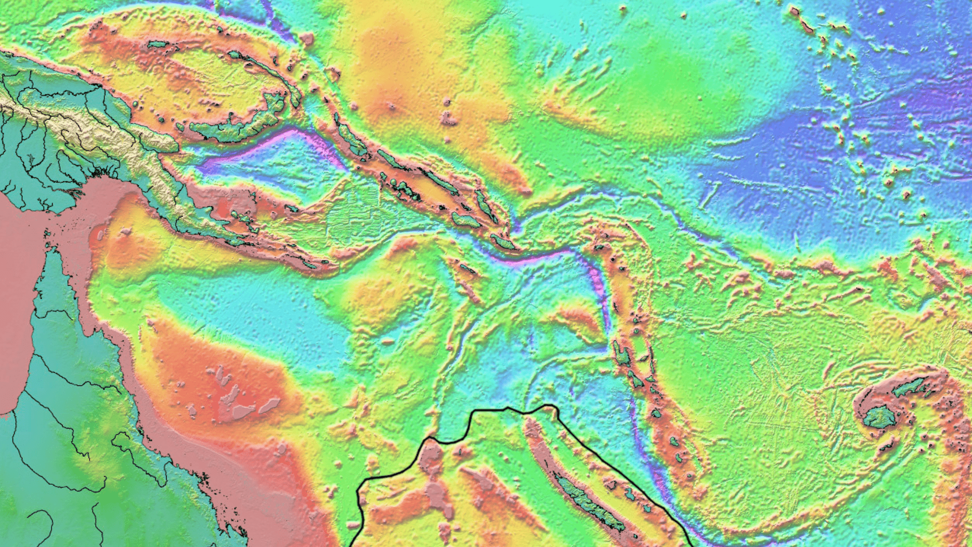
In August 2019, the RV Investigator undertook a 28-day research exploration in part of the Coral Sea off the coast of Australia. Specifically, the researchers went to investigate the composition of the large underwater Louisiade Plateau.
There’s been some question whether the plateau was formed from a massive volcanic eruption or if it’s a breakaway part of Australia. Further analysis of the collected rocks is still needed to find conclusive evidence of the plateau’s continental status.
What About Other Submerged Landmasses?
With the aid of satellites orbiting the Earth, scientists have been able to identify many submerged landmasses around the globe. Yet most of these cannot be classified as continents due to their geological makeup.
Most of them happen to be formed from geologically young volcanic activity and are not actually composed of continental crust. For instance, even though Iceland is quite large, it is composed of volcanic rock that is less than 18 million years old.
How Do We Recover Missing Continents?
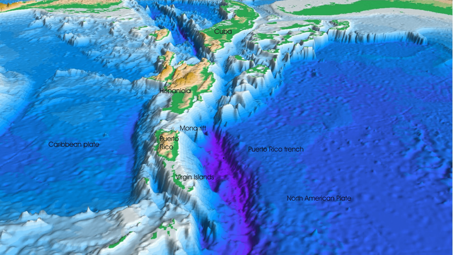
One very sophisticated way that scientists scan the ocean floor searching for lost continents is through the use of ships equipped with multibeam sonar systems.
These sonar systems send pulses of sound down to the ocean floor which then bounce back an echo. From this, scientists can construct working models of the ocean floor’s topography.
How Do Scientists Collect Geological Specimens From Lost Continents?
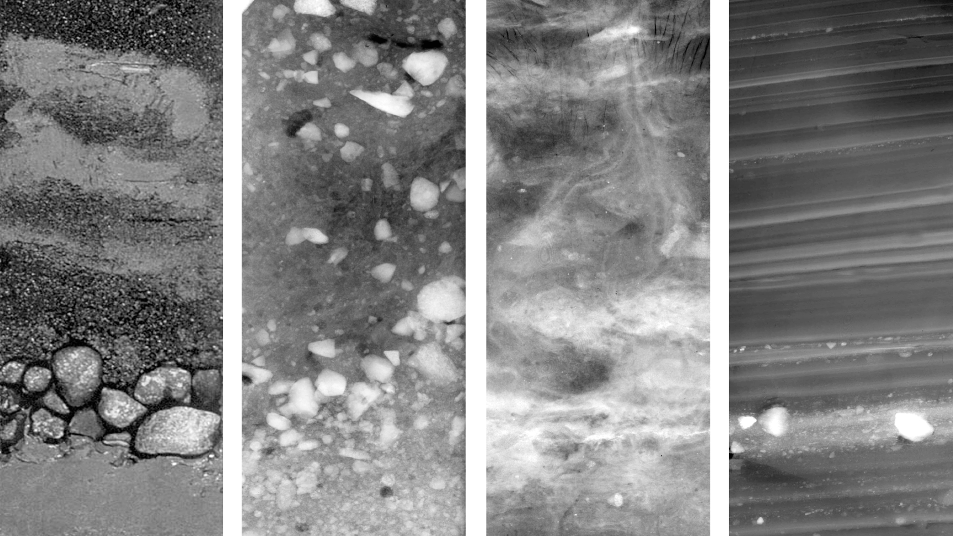
Utilizing systems such as the multibeam sonar described above, scientists search for steep slopes in the areas where they are researching potential lost continents. Steep slopes have a higher likelihood of being free of sediment.
After scientists have determined a good location to collect samples, they send down a special metal bucket device to pull up a collection of sediment from a slope, which they can then analyze.
The Search Continues
Only a mere 5% of the ocean has been explored thus far. Who knows how many more continents and microcontinents have been lost to the sea? No one really has an answer yet, but the search continues.
As more and more of the ocean and its depths are plumbed by scientists around the world, we may someday discover another Zealandia. Until then, remember—the Earth has eight continents, not seven.