

The United States of America added the final state to the union, Hawaii, in 1959. However, at the start of 2024, the country became 386,000 square miles larger than it’s ever been before.
It’s not an additional state that added this mileage, but a shift in geographic coordinates that annexed thousands of miles of extended underwater continental shelf.
Understanding the Extended continental shelf
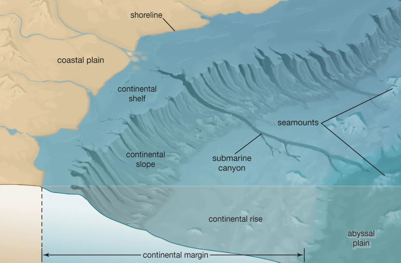
In order to fully understand this additional land mass, it’s first vital to know what the extended continental shelf (ECS) actually is.
Essentially, around every mass of land lies underwater land known as the continental shelf, this leads to the continental slope, and eventually the seafloor. The ECS is the area past the continental shelf before the ocean floor begins.
The ECS Belongs to the Country Where Its Shoreline Rests
According to the Law of the Sea Convention or the United Nations Convention on the Law of the Sea (UNCLOS) from 1982, ECS belongs to the country on from which they extend.
The idea behind this law was to ensure the oceans directly surrounding the continents were protected for both natural and cultural resources.
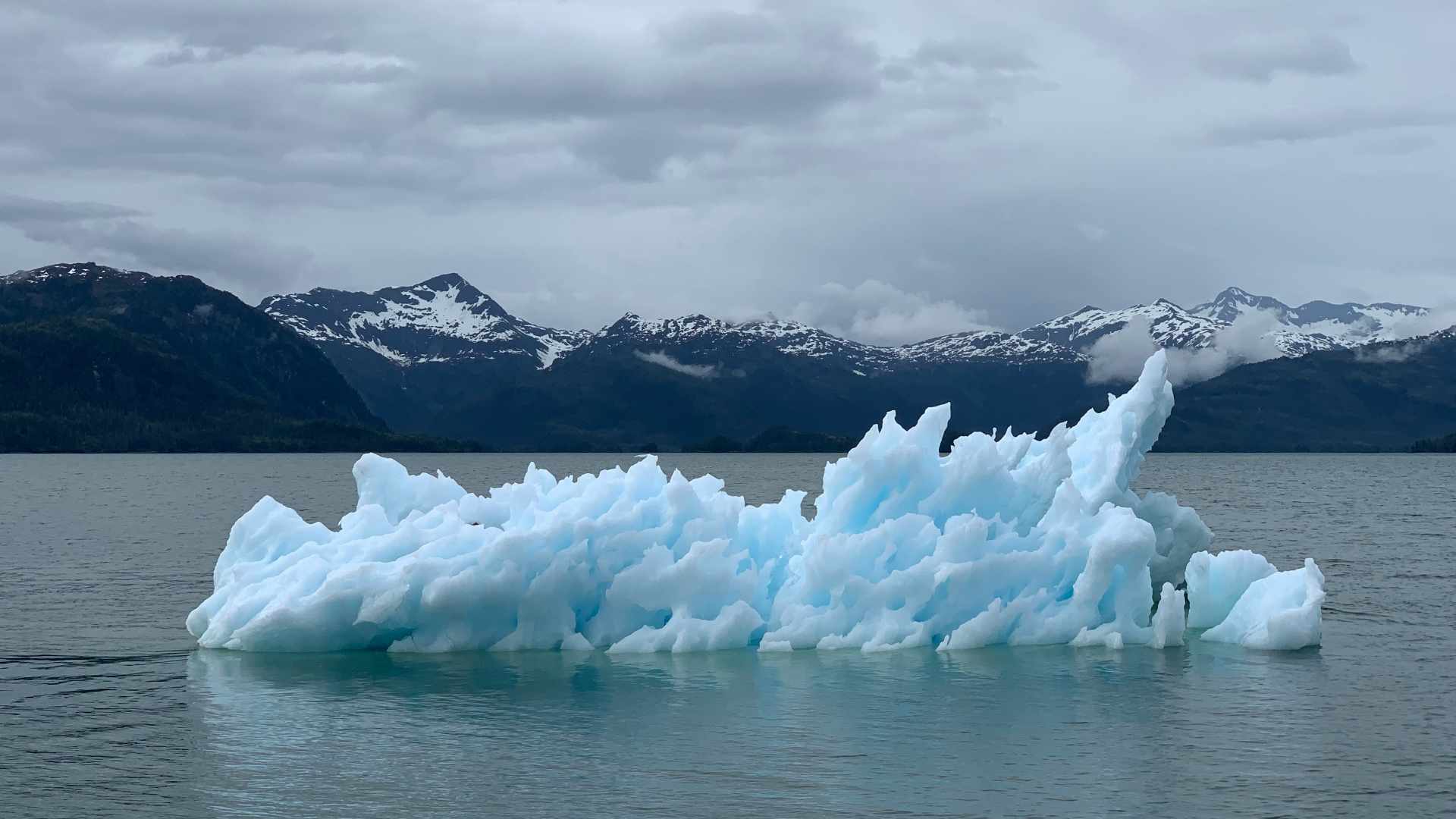
The USA’s Largest ECS Is in the Arctic
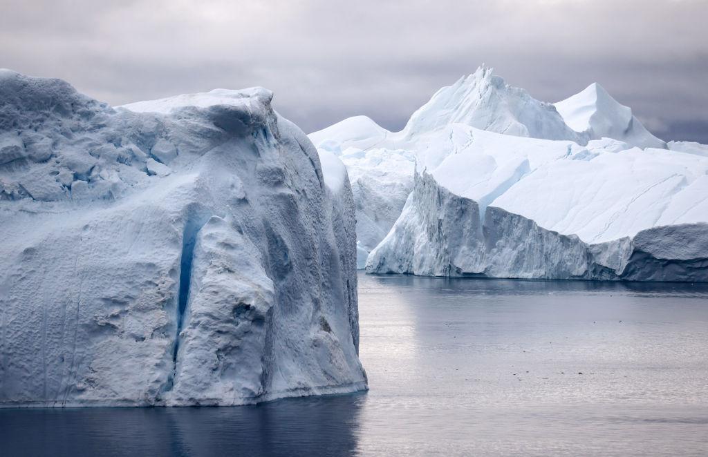
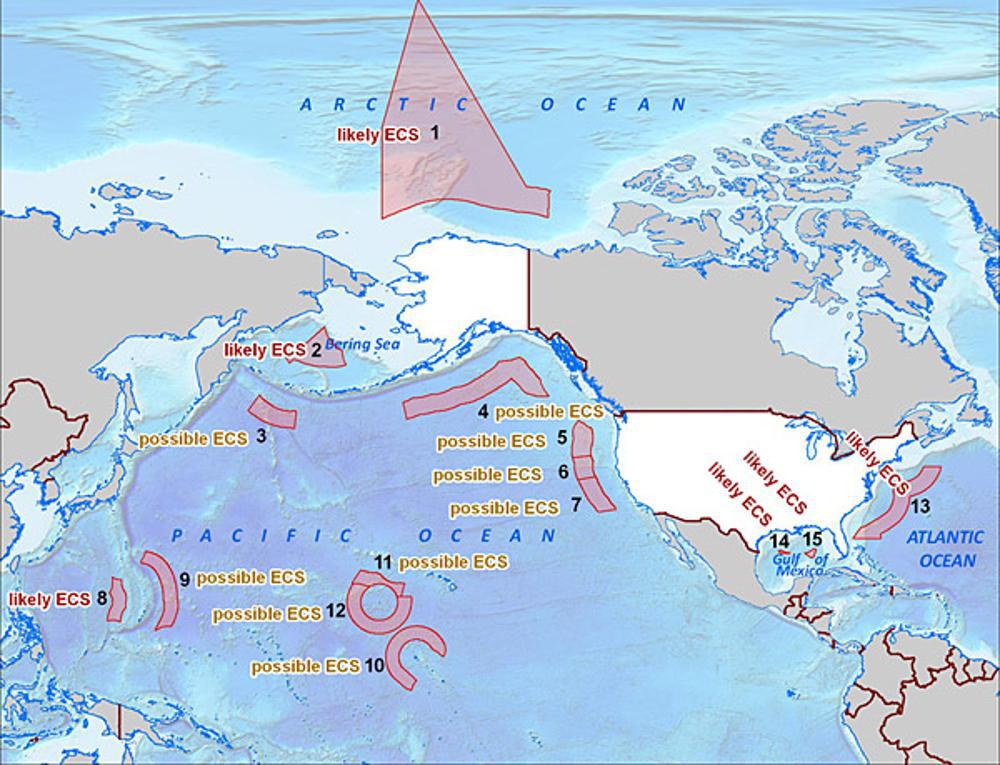
Although it may be surprising, the United States’ largest ECS holding is in the Arctic around Alaska and within the Bering Strait.
However, this area sits so closely to Russia’s easternmost shorelines that there has been a decades-long debate as to where each country’s ECS borders actually lie.
ECS Research Has Been Going on for 30 Years
The United States, with the help of the National Oceanic and Atmospheric Administration (NOAA) and the U.S. Geological Survey (USGS) has been collecting data within the Bering Strait since 2003.
The NOAA reportedly used “bathymetric, sub bottom, gravity, magnetic, seismic, and geologic sample data” to create a wildly detailed map of the continental shelves, slopes, canyons, and the ECS around the entire country.
What is NOAA?

NOAA is a government agency that is involved in many forms of environmental research. Their research spans from the darkest depths of the sea floor all the way to collect data on the sun in the center of our solar system.
This agency is funded directly by the US Congress, who provides mandatory funding for conducting research and building facilities. Congress also grants NOAA with a discretionary budget it can use for various research projects.
Funding Cuts are a Looming Threat for Scientific Research

The NOAA has to endure the threat of having budget cuts from politicians regularly. President Trump tried to cut the annual budget for the agency by 16% in 2017, according to the American Institute of Physics (AIP). In 2018 Ocean Conservancy reported that Trump once again tried to cut the budget to the agency by $1 billion.
In contrast, President Biden’s 2023 budget included a $7 billion appropriation for the NOAA, according to a press release from the U.S. Department of Commerce.
Growing Importance of Environmental Research

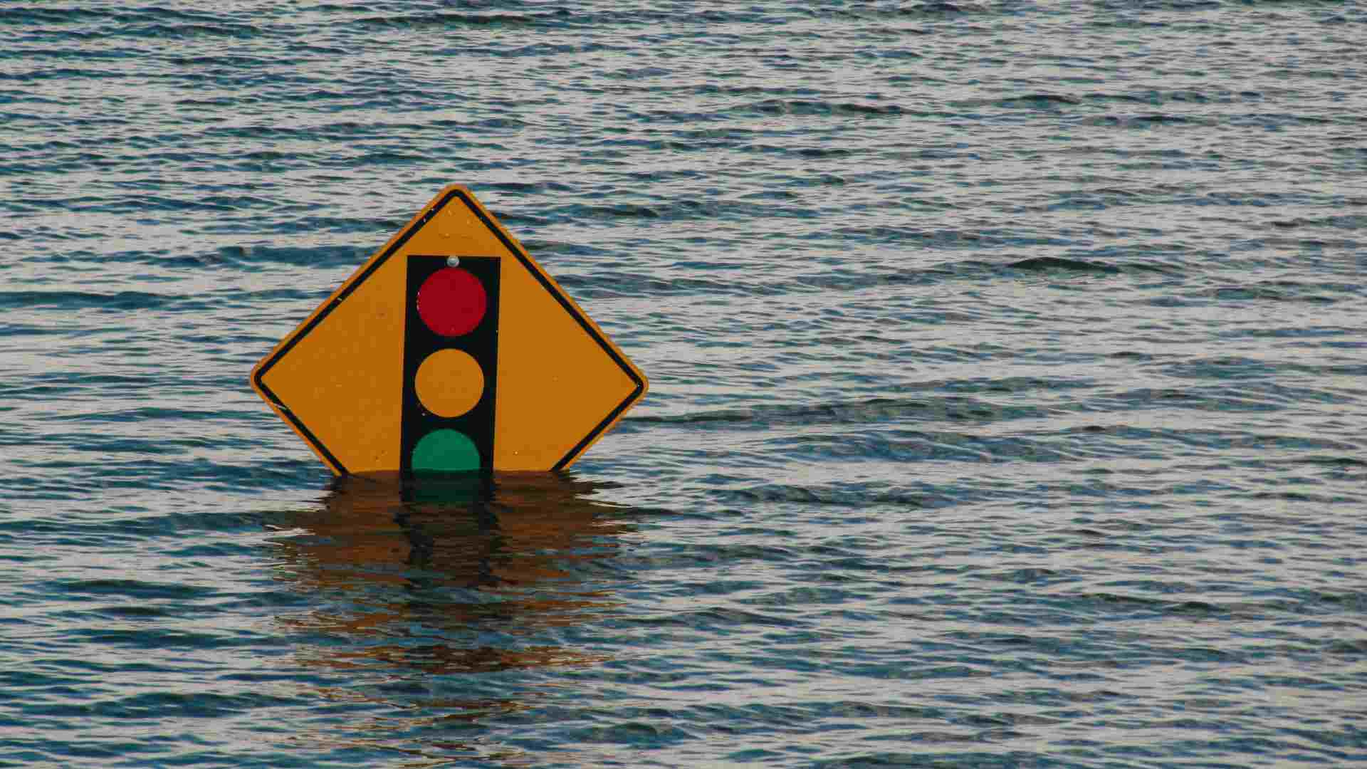
Research into environmental effects has never been more important as subtle changes in the earth’s climate are starting to have devastating consequences for many Americans.
People are finding themselves battered by storms, hurricanes, fires, and droughts much more frequently depending on where they live. Environmental research is essential to helping predict weather events so the country can plan ahead and navigate future situations.
NOAA Oceanographers Helping Improve Hurricane Predictions
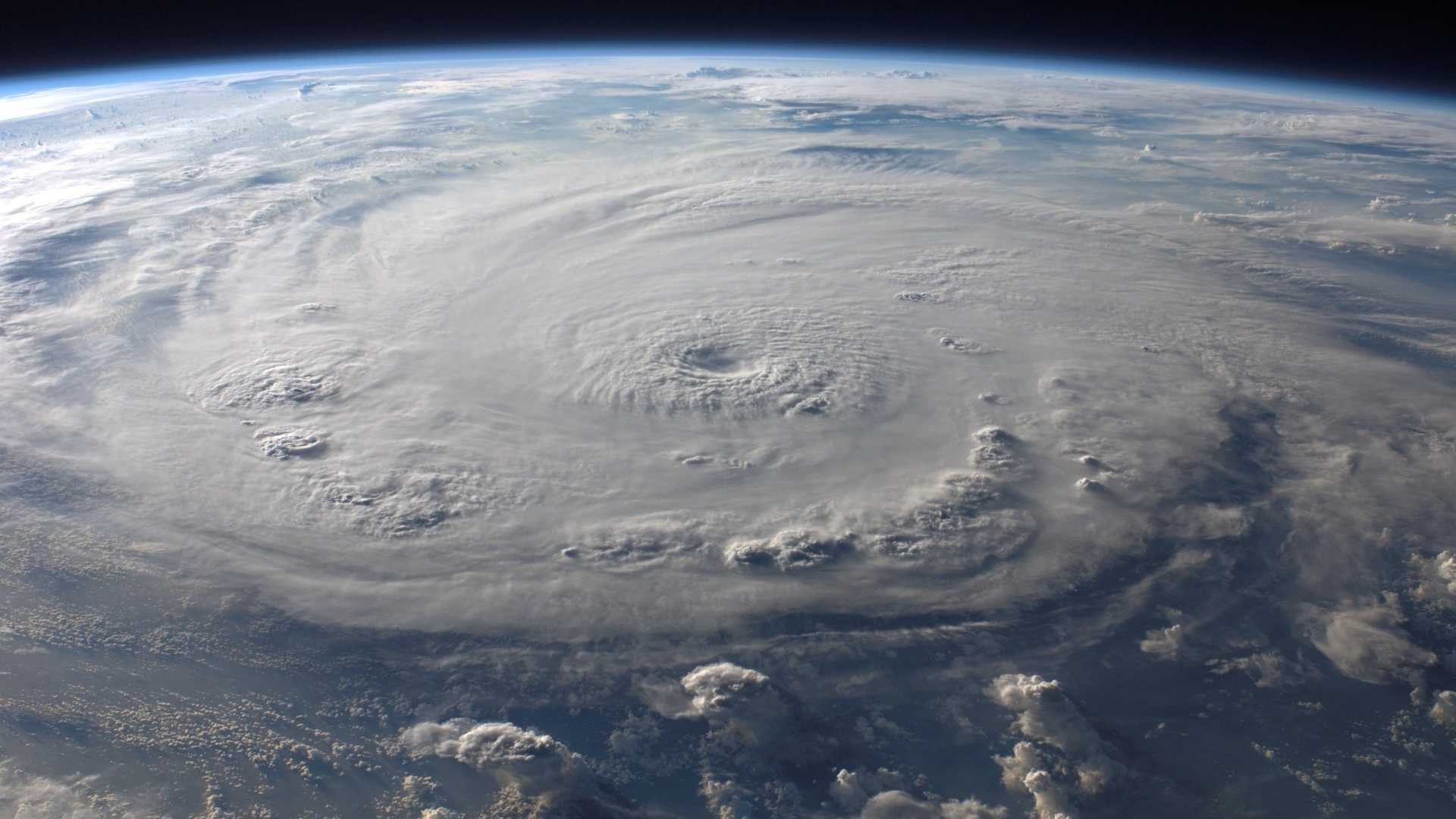
According to research recently published by NOAA researchers in the Frontiers of Marine Science, the use of unmanned drones in the study of hurricanes could greatly impact the future of weather forecasting.
Previous efforts of drones being sent into the eye of hurricanes have convinced these researchers of the viability and importance they can provide in providing up-to-date temperature readings. Upper-ocean data could be a key component to getting more accurate hurricane predictions in the future.
Changes Not Captured by Satellites
While satellites are often relied upon by forecasters to predict the path and intensity of hurricanes and storms, recent research showed it is not the most reliable.
The team analyzed data from an unmanned ocean robot that showed surface ocean temperatures fluctuated unexpectedly during the first half of Hurricane Sam in 2021. The resulting forecast models at the time suffered from this lack of data.
Importance of Drones in Scientific Research
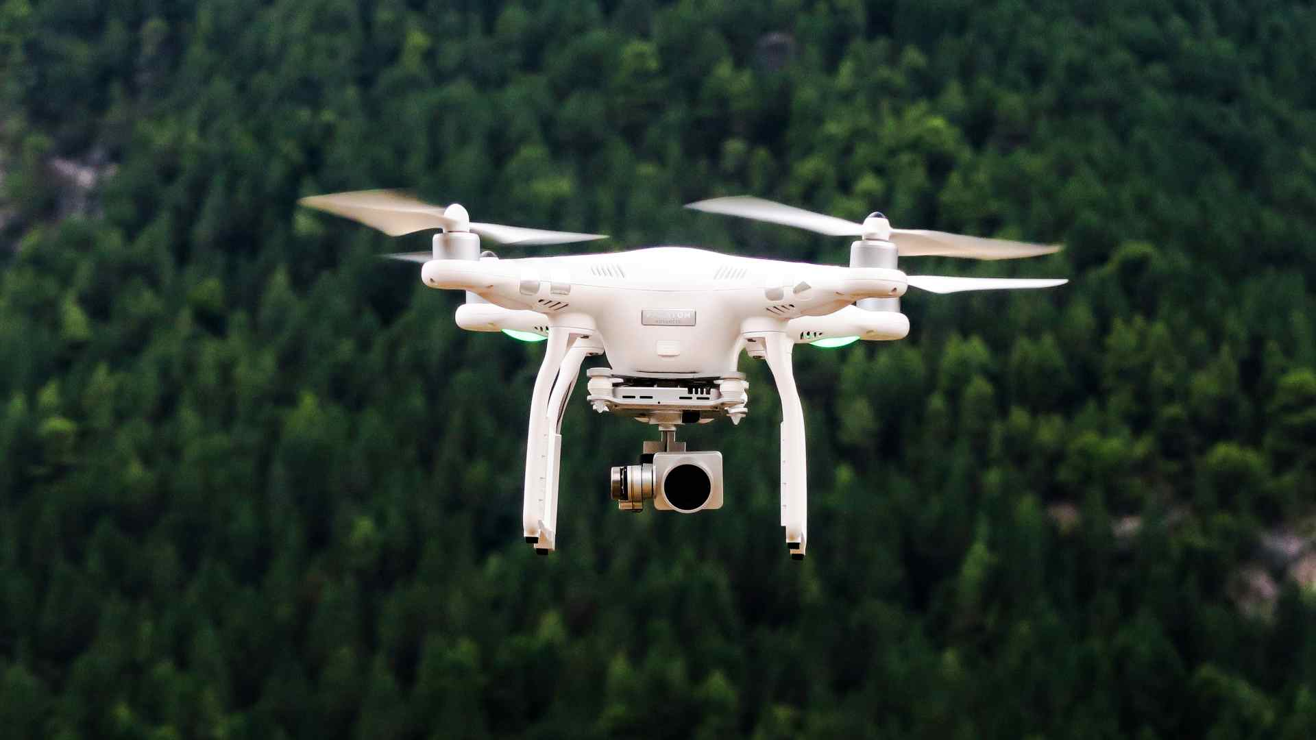
The underwater area the United States recently acquired will be useful for drones, robots, and other unmanned vehicles that will conduct scientific research in the area.
These drones can explore areas that no human can research and can still collect data in the harshest of weather conditions. Recent technology improvements like wireless recharging and the emergence of AI advancements for drones will make their data more accurate and help avoid human error.
Climate Change Arms Race
This recent territory acquisition could prove vital to the growing arms race between humanity and the changing climate.
What researchers are currently lacking in the fight against climate change is consistent data on evolving conditions on the ground. As researchers finally feel like they get a handle on intense storms, the storms evolve past predictions, in a constantly changing competition between weather forecasters and nature.
Why are Hurricane Predictions so Important

Massive tropical storms like hurricanes have the potential to displace thousands of people from their homes and businesses and present a consistent threat to human life on the coastal United States.
The highest fatality year in recent history was in 2005, where over 1,500 people lost their lives from hurricane events that year, according to Statista.
Climate Change is Not Slowing Down
According to NOAA’s Annual Climate Change 2023 Report released in early January, the rate of global warming for land and ocean temperatures is at triple the rate it was in 1982.
This means that the Earth’s temperature is increasing at a rate of 0.36 degrees Fahrenheit per decade. 2023 was also the warmest year on record according to researcher data from 1850 onwards to today.
Many are Experiencing Droughts
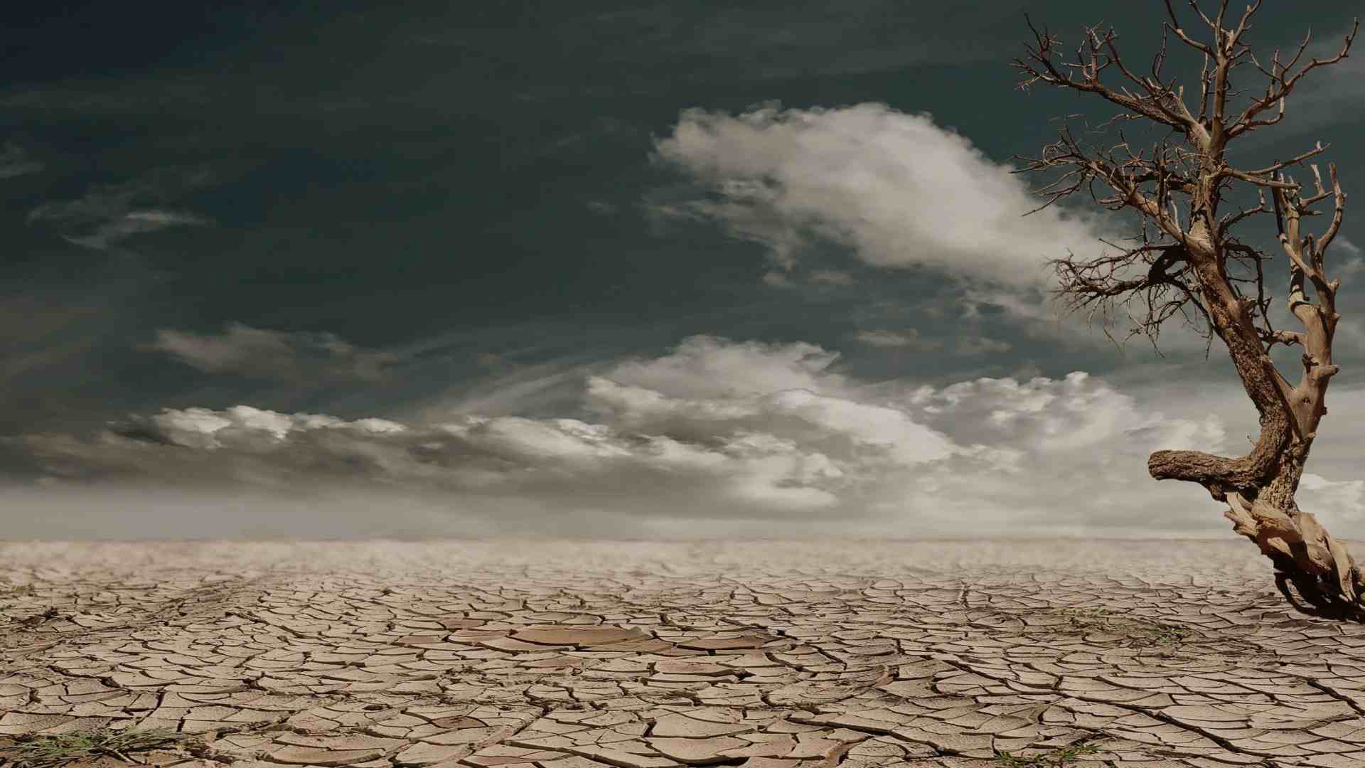
As the Earth’s temperature continually rises, certain areas will see an increase in the frequency and duration of terrible droughts.
Warmer temperatures mean that evaporation of water becomes easier. As more water leaves the ecosystem, soil and vegetation start to degrade as they dry out. This creates a compounding effect that makes it hard for the area to retain water even when moisture returns and temperatures get lower again.
Increase in Wildfires
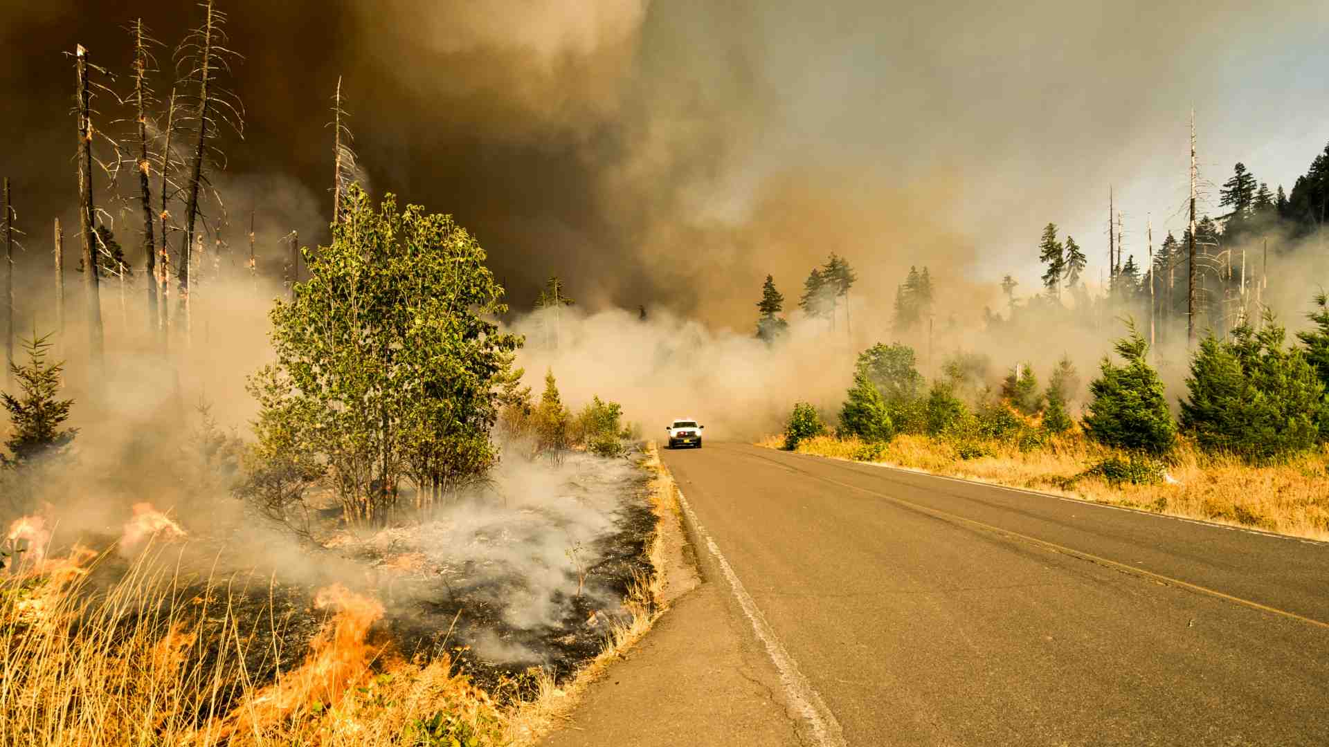
A dangerous consequence of the increasing drought seasons is that the area that once had lots of moisture becomes extremely dry. Plants in the area also dry out due to lack of water, which creates the perfect conditions for a fire to rapidly spread in the area.
Wildfires further contribute to global warming by releasing toxic chemicals and greenhouse gases into the air. As fires burn they also kick up dust, which can cause devastating dust storms that can last for weeks.
Worsening Air Quality
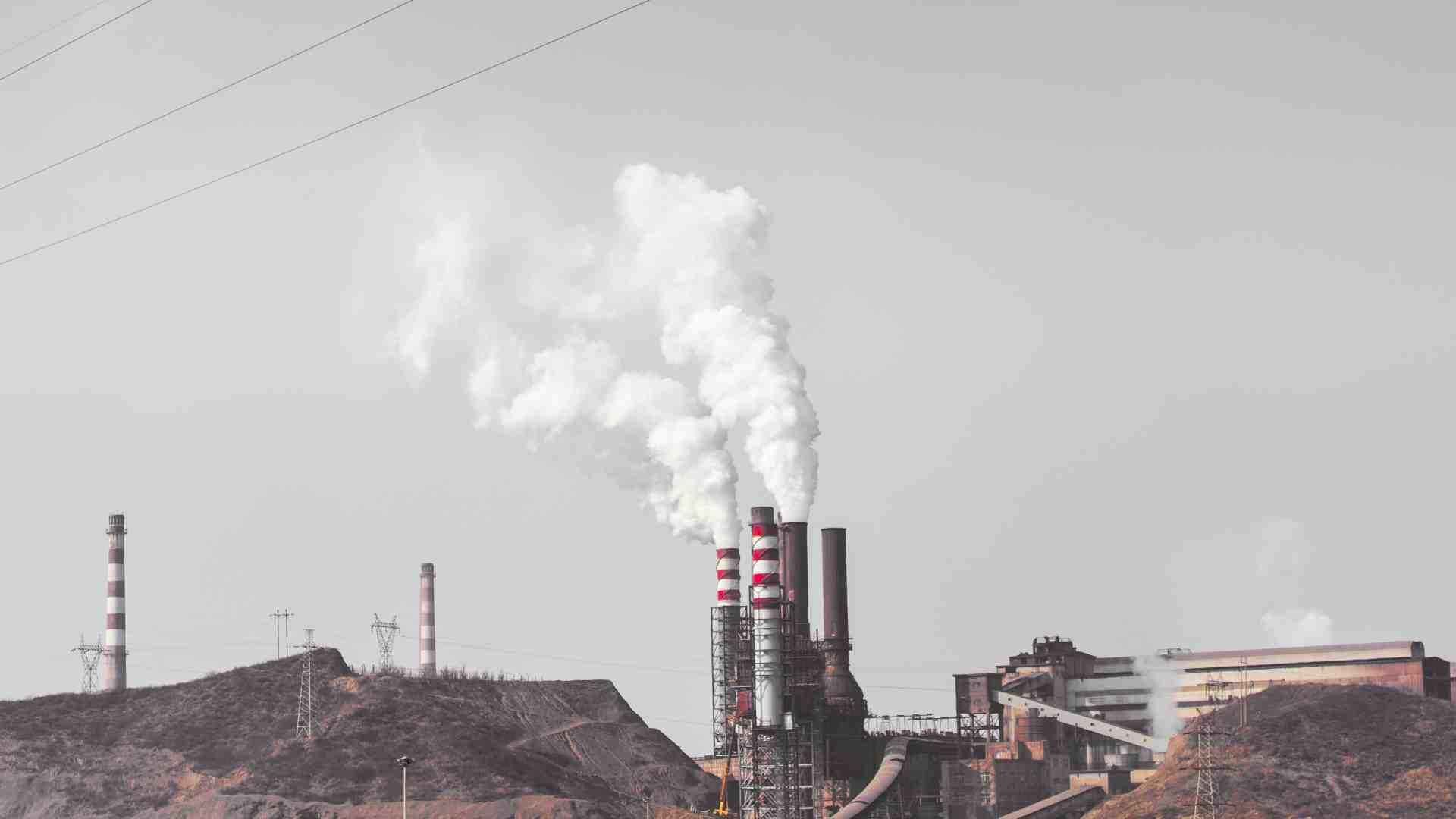
While climate change can be the catalyst for nature to attack humanity more directly, there are also more subtle ways that climate change is dangerous for us.
A chief concern among researchers is that increasing global temperatures will increase the number of pollutants and allergens floating around in the air. This will make it harder for people to breathe fresh air, which will have negative health outcomes for many Americans.
Finally, the Data Has Been Published
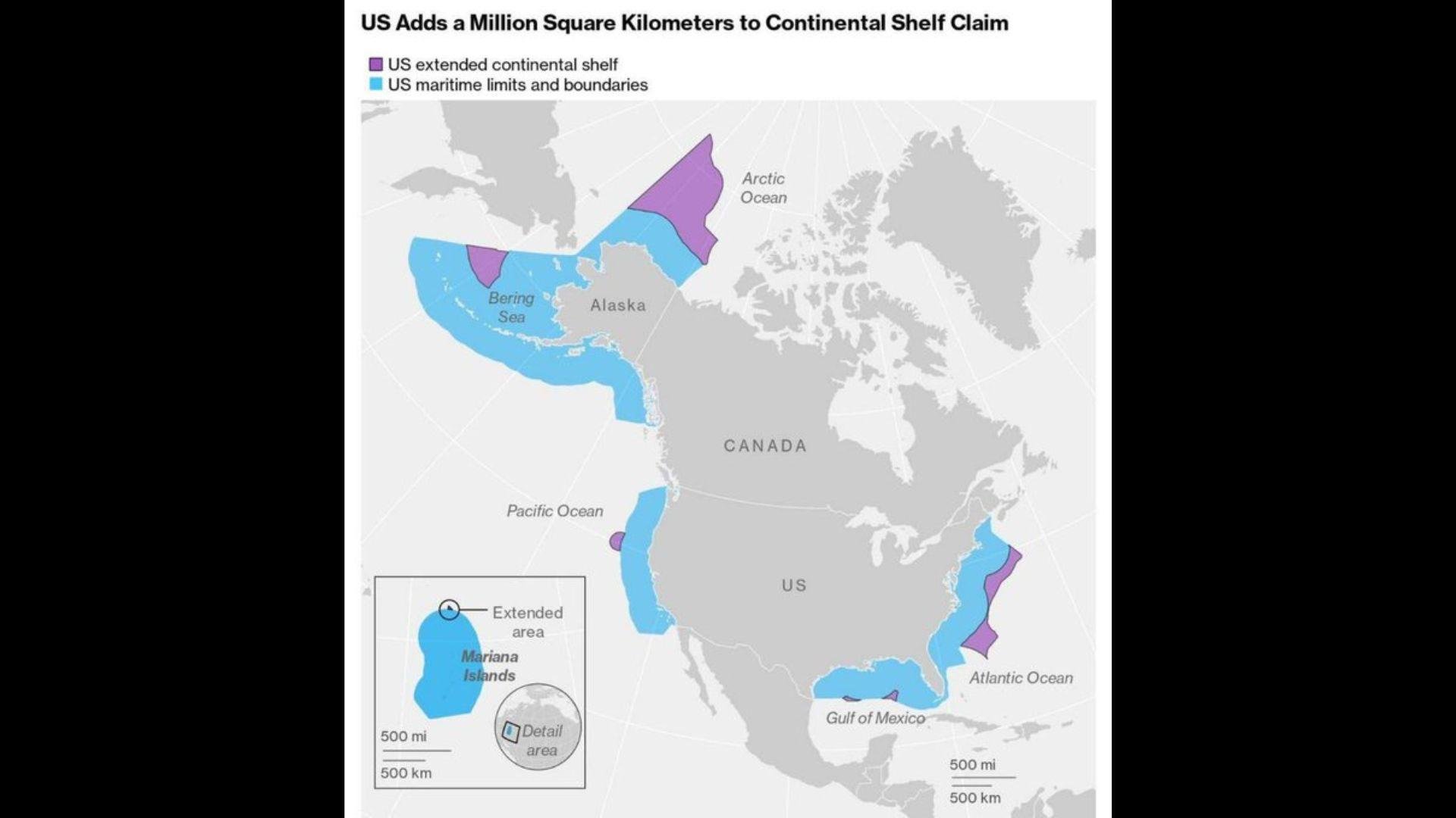
And as of Dec. 19, 2023, they finally made the announcement regarding the ECS borders of the United States.
The results made it clear that the U.S. has an additional 386,000 square miles of ECS than they originally thought.
Will Russia Argue that the ECS Land Is Actually Theirs?

When the data was released, some wondered whether Russia would argue that the ECS land was, in fact, under their control, not the control of the United States.
However, the Wilson Center, which has helped to analyze and publish the data, reported, “There is no need for a future negotiation with Russia because each country has delineated the outer limit of its continental shelf consistent with the boundary established in 1990 in the Agreement between the United States of America and the Union of Soviet Socialist Republics on the Maritime Boundary” (via MSN).
What Is the Wilson Center?

The Wilson Center, a Washington, D.C., based think tank, is chartered by Congress for “nonpartisan counsel and insights on global affairs … through deep research [and] impartial analysis.”
And the members of the Wilson Center have played a big role in determining the ECS boundaries as well as explaining their importance.
The Wilson Center Explains the Importance of ECS Land
A spokesperson for the Wilson Center said in a recent statement, “It has long been clear that the United States has major economic interests in undersea territory rich in oil, natural gas, minerals, and sea life to which it has sovereign rights under the law of the sea as reflected in the Law of the Sea Convention.”
The spokesperson continued, “The United States is a major maritime nation with the largest exclusive economic zone in the world, and this historic step helps protect its sovereign rights to vast additional subsea areas.”
Why Is ECS Land So Important?
What the Wilson Center is essentially saying is that the U.S. has performed this extended data collection in order to protect its own rights, as well as the natural resources of the sea itself.
Of course, whatever is found in the ECS land is the property of the USA, but that also means it’s the country’s duty to protect it.
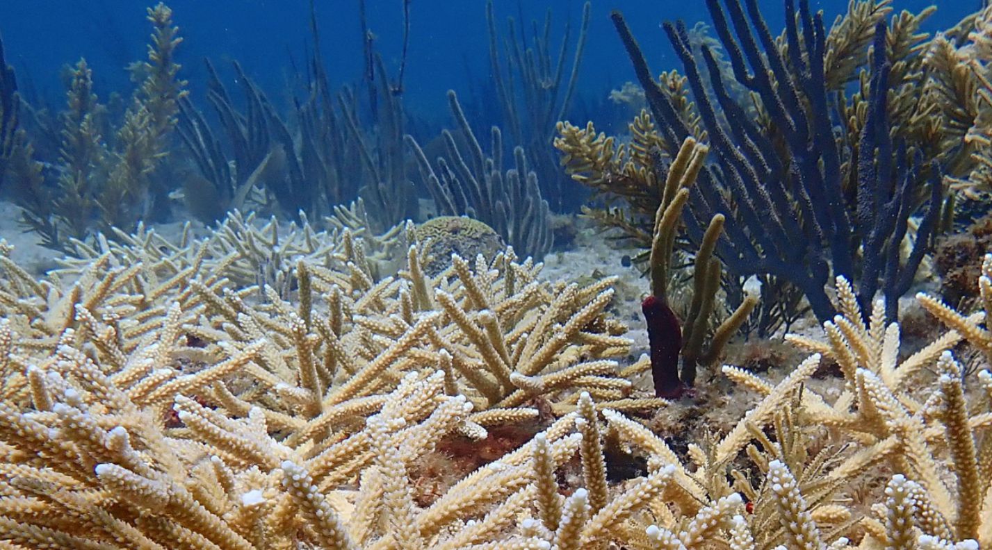
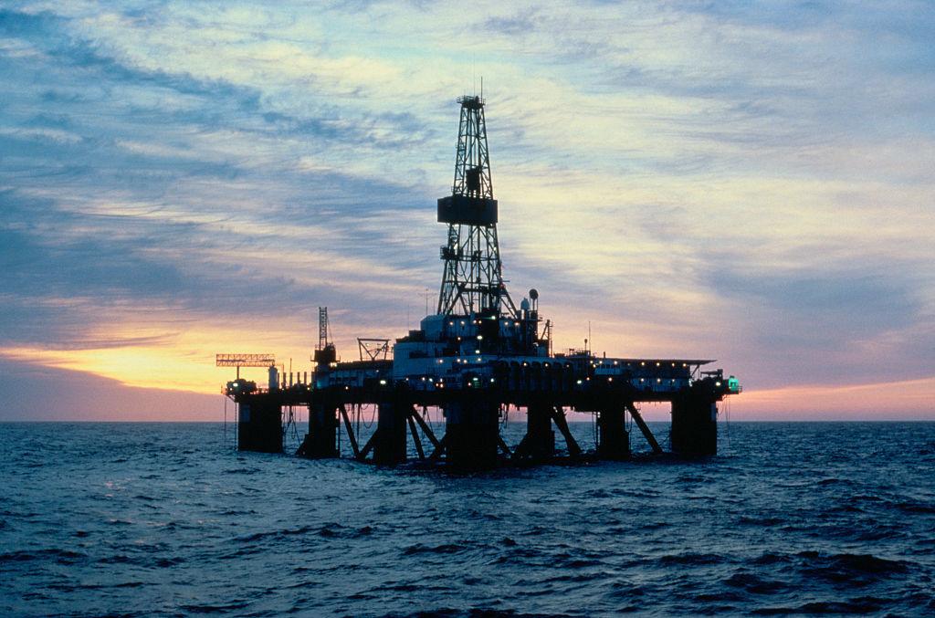
What Can Be Found within ECS Land?
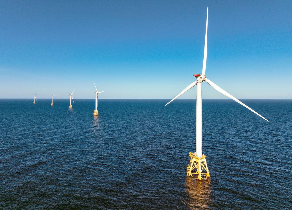
Most often, ECS is home to coral reefs, wildlife, and entire ecosystems. But countries also find gas and oil deposits, as well as resources such as minerals with the seabed. And now, with the development of wind farms, many countries are using their ECS for the giant turbines.
So that means that while countries can make significant profits from their ECS land, they have the responsibility not to over-farm and ruin the natural landscape.
What Will the U.S. Do With Its New ECS Land?
As the majority of the USA’s newly discovered ECS land sits in the Arctic around the Bering Strait, it’s likely the new exploration of the seabed there will start as soon as possible.
The NOAA and the USGS have been hard at work understanding the layout, but now, the government will probably want to know what profitable resources lie beneath the surface.