An earthquake that is being described as the strongest earthquake in Southern California in three years was felt by a significant swath of the region on Tuesday.
Although there were no reports of major damage, a huge area was rattled by the 5.2 magnitude earthquake that was estimated to have struck seven miles underground in a remote area southwest of Lamont.
Tuesday Quake
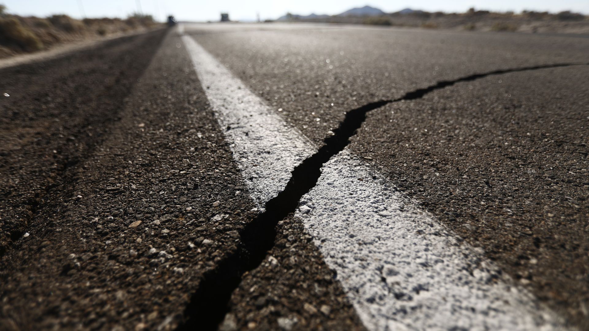
This latest earthquake with an epicenter around 18 miles southwest of Bakersfield, California had reverberations and aftershocks that were felt across the state.
According to the US Geological Survey (USGS), the quake struck at 9:09 pm and created dozens of aftershocks.
Not Much Damage
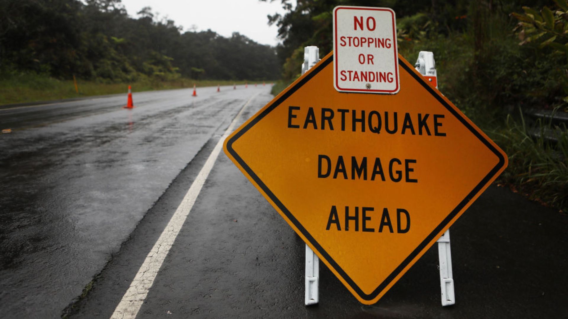
Despite the fear that the quake instilled in some residents, not much damage was reported to have occurred.
The Los Angeles Times reported a boulder the size of an SUV had blocked lanes on Interstate 5, but it was easily cleared by Wednesday morning.
Knocking Items Off Shells

Video footage of Verdugo Market and liquor store in the community of Mettler shows people running to take shelter as the shaking hits.
The shaking was also intense enough for security video to show items falling off the liquor store shelves.
Felt for Miles
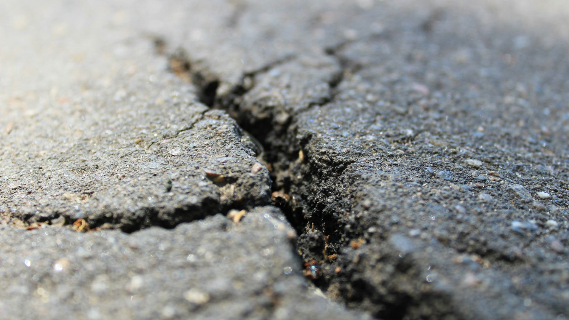
A USGS map of the Tuesday quake showed that the shaking was felt as far north as Fresno and as far South as Orange County.
It also spanned as far east as the Inland Empire and Victorville.
Why Was it Felt So Widely?

Geophysics professor Allen Husker, head of the Southern California Seismic Network at Caltech, was not surprised that so many people felt the 5.2 magnitude quake.
Since it occurred at night, more people are resting and still, making the shaking stand out more.
Basin Effect

Husker also commented that the Los Angeles Basin, which runs from Beverly Hills through southeast LA County and into Orange County, amplified the shaking.
“The basin effect … increases the shaking that you would otherwise normally have,” Husker said.
San Andreas Fault
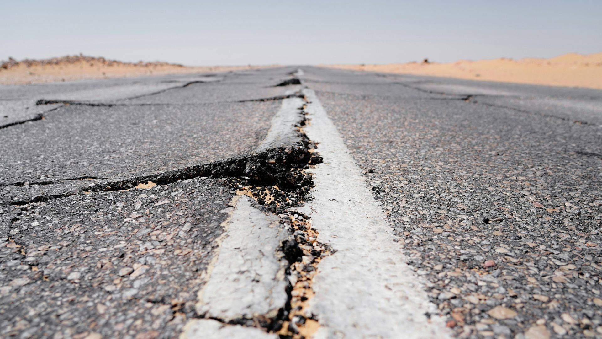
Compared to an earthquake from the San Andreas fault, the Tuesday quake was much tamer and with less duration, with some reporting they only felt shaking for a few seconds.
“This earthquake was much, much smaller, of course,” said Pasadena seismologist Lucy Jones. “But it was large enough to set up some of these basin effects and get things bouncing around.”
Initial Estimate Changed
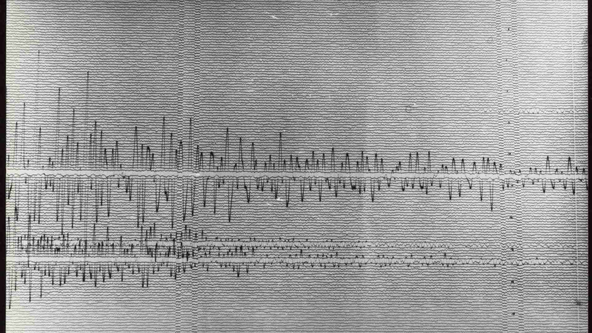
Originally, the USGS had estimated the magnitude to be 5.7.
However, this number was downgraded to 5.3 and eventually to 5.2 in the immediate aftermath of it striking.
Risk of Larger Quake
As is standard with an earthquake risk assessment, experts worried about the initial quake being a precursor to a much larger one.
The risk that this quake would come before a larger one is estimated to be 1 in 20, though that risk diminishes as time goes by without another strike.
Strongest in a While
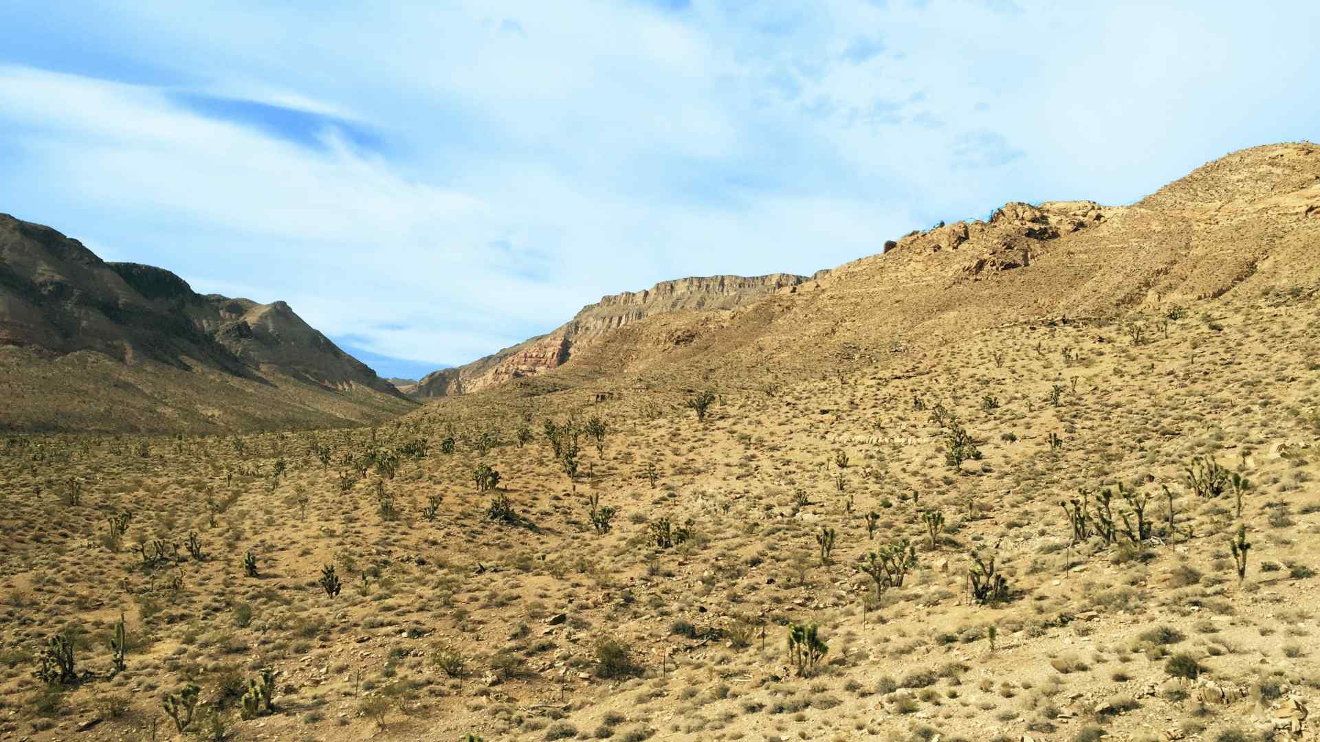
This 5.2 magnitude quake was the greatest felt in Southern California in over three years. In June of 2021, an earthquake measuring at 5.3 struck 160 miles southeast of downtown Los Angeles.
In 2020, there was a 5.5-magnitude quake centered in the Mojave Desert.
Early Warning System

California’s early warning app “MyShake” was praised by Governor Gavin Newsom in the wake of Tuesday’s tremors.
“Our investments in cutting edge, innovative technologies are paying off. Efforts like these have allowed us to gain vital seconds between when alerts arrive on Californians’ mobile phones and when the ground starts shaking. Californians, I encourage you to download the app, it can save lives!” Newsom said in a governor’s office statement.
