A vast area of the Atlantic Ocean has started cooling at a record speed, an occurrence that has left scientists puzzled.
Michael McPhaden from the National Oceanic and Atmospheric Administration (NOAA) expressed his confusion, stating, “We are still scratching our heads as to what’s actually happening.”
A Dramatic Temperature Dive

Just months ago, this stretch of the central Atlantic was basking in temperatures up to 86°F, the warmest since 1982.
Then, almost overnight, the mercury plunged to 72°F. Scientists are at a loss to explain why this drastic shift occurred so quickly.
Under the Microscope

The zone in question lies between Brazil and East Africa, right along the equator.
Known as the central equatorial Atlantic, it’s now under intense scientific scrutiny due to the startling rate at which its temperature has dropped.
A Cold Snap Like No Other

Normally, this part of the ocean warms until early spring, then cools down smoothly into summer.
But this June, temperatures fell sharply and unexpectedly, much colder than usual for this season.
Rebounding Waters

Despite the initial shock of the cold, ocean temperatures are creeping back to normal.
Yet, experts like Dr. McPhaden are puzzled about what triggered such an abrupt change, hinting at unknown processes at play: “It could be some transient feature that has developed from processes that we don’t quite understand.”
Winds of Mystery

Usually, strong equatorial trade winds cool these waters during the summer. But this year, those winds were unusually mild—contrary to what would be expected if they were cooling the waters.
Dr. McPhaden observed a brief spike in winds in May but notes that “they haven’t increased as much as the temperature has dropped.”
Ruling Out Climate Change?

While it’s tempting to blame climate change for this oddity, Dr. McPhaden is cautious, suggesting it might be more of a natural fluctuation.
He said, “At first blush, this is just a natural variation of the climate system over the equatorial Atlantic.”
Watching for an Atlantic Niña

A swing of half a degree on either side of the average temperature could indicate the onset of an Atlantic Niña event, which has not occurred since 2013.
This phenomena is critical as it could significantly influence regional weather patterns and climate.
The Wider Impact of an Atlantic Niña

Such cooling events can disrupt weather far and wide.
Dr. Franz Tuchen from NOAA explains how they can decrease rainfall in Africa’s Sahel and increase it over the Gulf of Guinea, alongside shifting South America’s rainy seasons.
Echoes of Past Disruptions

Brazil felt the sting of these cooling events with severe droughts and floods in 2012 and 2013.
Research indicated that these disruptions were likely due to an Atlantic Niña, which brought unusual weather to the region.
A Potential Break from Storms
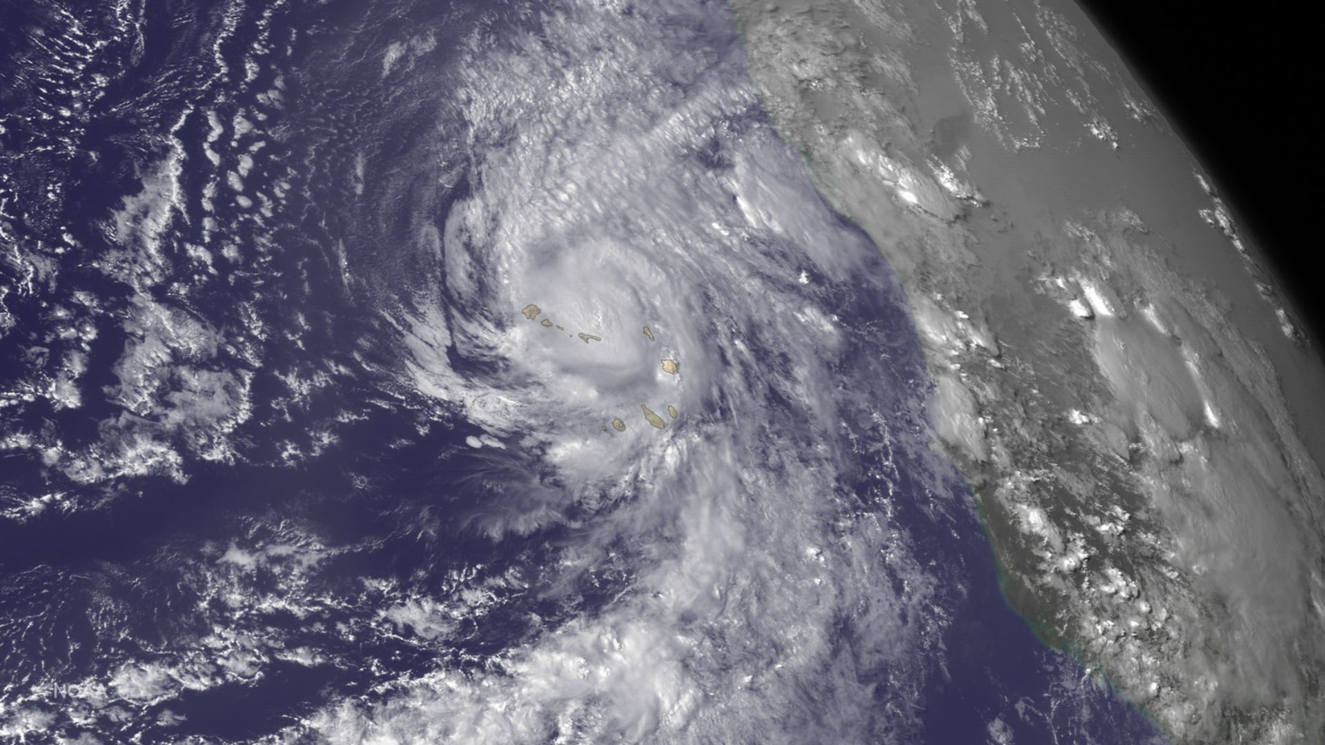
While warm phases in the Atlantic can amplify hurricane formation near Cape Verde, this cooling might actually reduce the number of powerful storms this year.
This could provide a small respite from the predicted active hurricane season.
Eyes on the Horizon

The scientific community remains vigilant, watching to see if this cooling trend will settle into a full-fledged Atlantic Niña.
Dr. Tuchen encapsulates the anticipation, saying “It will be interesting to monitor whether this Atlantic Niña fully develops, and if so, whether it has a dampening effect on hurricane activity as the season progresses.”
