
Researchers have finally mapped an underwater fault in the Pacific Northwest that remains an incredible threat to much of the West Coast.
According to scientists, this specific underwater fault could devastate the West Coast with massive earthquakes and tsunamis. Now that researchers have the area mapped for the first time in history, they’re hoping they can use this information to prepare for worst-case scenarios.
The Cascadia Subduction Zone
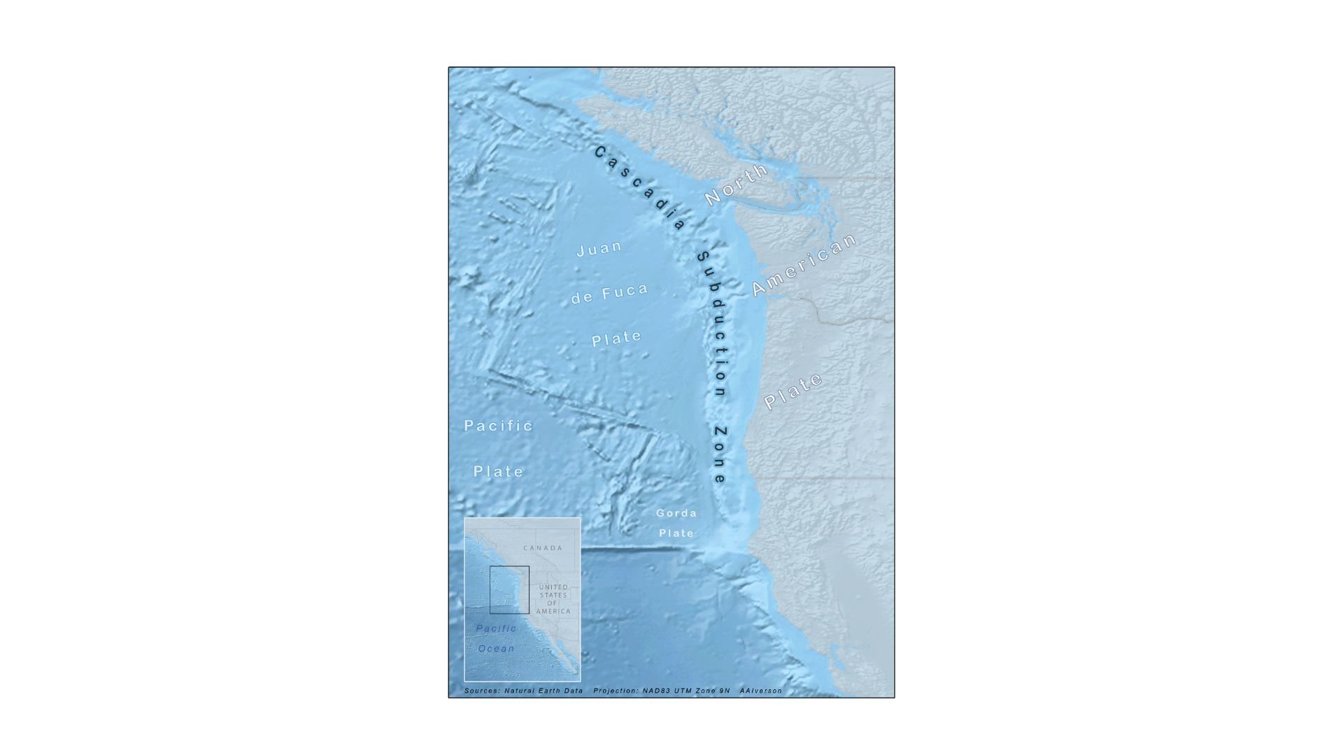
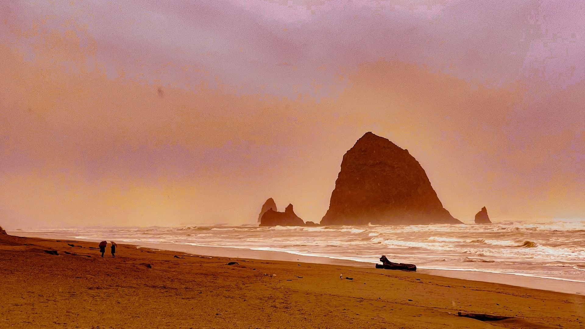
The Cascadia Subduction Zone, located off the Pacific coast, runs all the way from the coast of northern Vancouver Island down to Cape Mendocino in California.
This specific fault has long been warned about by scientists, especially considering the history of the colossal 8.7 magnitude earthquake this fault emitted back in 1700. Today, many researchers are worried that this fault is due for another massive quake.
Researching the Zone
For decades, scientists have been attempting to learn more about this mysterious fault. Though they were aware of the zone’s last “big one” from 1700, they didn’t have a ton of data regarding exactly what happened during this earthquake.
This led to more research. Scientists collected old records of tsunamis during this time, as well as Native American oral histories to better understand what happened during this 8.7 magnitude quake.
Collecting Physical Evidence
Though these oral stories and old records helped researchers, they also collected physical evidence in various ghost forests in the region. These forests have been drowned by saltwater over the centuries.
This physical evidence has further helped scientists understand this past earthquake and how it affected much of the West Coast.
Creating a Map
Unfortunately for these researchers, the Cascadia Subduction Zone has never been fully mapped. Some limited maps of this zone were used by scientists during their research — but a full mapping was needed to truly understand the fault.
This led to a team of scientists heading out on a 41-day voyage to fully map the fault in a comprehensive way.
A New Detailed Map
This complete map has been detailed in a new study published in the journal Science Advances. According to this study, this map encompasses more than 550 miles of the Cascadia Subduction Zone and ends at the Oregon-California border.
To create this map, researchers had a miles-long cable that trailed behind their vessel. This cable listened to the seafloor and allowed scientists to create an image of what the subduction zone looks like.
A Complex Subduction Zone
Scientists have already made remarkable discoveries about the Cascadia Subduction Zone, thanks to this new map.
This subduction zone is incredibly complex — much more than researchers initially thought. The zone is divided into four different segments. These segments could have the capabilities to rupture by themselves, or all together at the same time.
Differing Characteristics
Perhaps most interesting, these four segments all seem to have different seismic characteristics, as well as different types of rock.
This could mean that some segments could be more dangerous — and more deadly — than others. This discovery has already led to researchers creating tsunami and earthquake models of this new data to see how it could potentially devastate the West Coast, were these segments to rupture one at a time or all at once.
Big Earthquakes in the West Coast’s Future?
Many scientists have welcomed this mapping, especially because it could help them better understand the capabilities of this potentially devastating zone.
Harold Tobin, the co-author of the paper and the director of the Pacific Northwest Seismic Network, said, “We have the potential for earthquakes and tsunamis as large as the biggest ones we’ve experienced on the planet. Cascadia seems capable of generating a magnitude 9 or a little smaller or a little bigger.”
Another “Big One”
Researchers also believe the Cascadia Subduction Zone is due for another “big one” any day now. Research scientist Kelin Wang said the odd fact that the zone remains incredibly quiet — versus other zones that often have small earthquakes — could be because the fault is containing stress.
Wang said, “The recurrent interval for this subduction zone for big events is on the order of 500 years. It’s hard to know exactly when it will happen, but certainly if you compare this to other subduction zones, it is quite late.”
The West Coast Isn’t Prepared
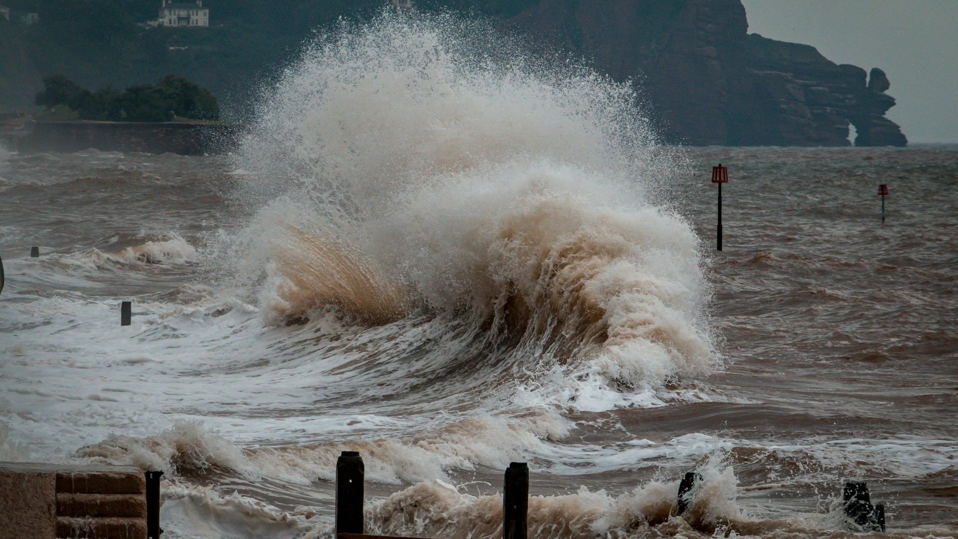
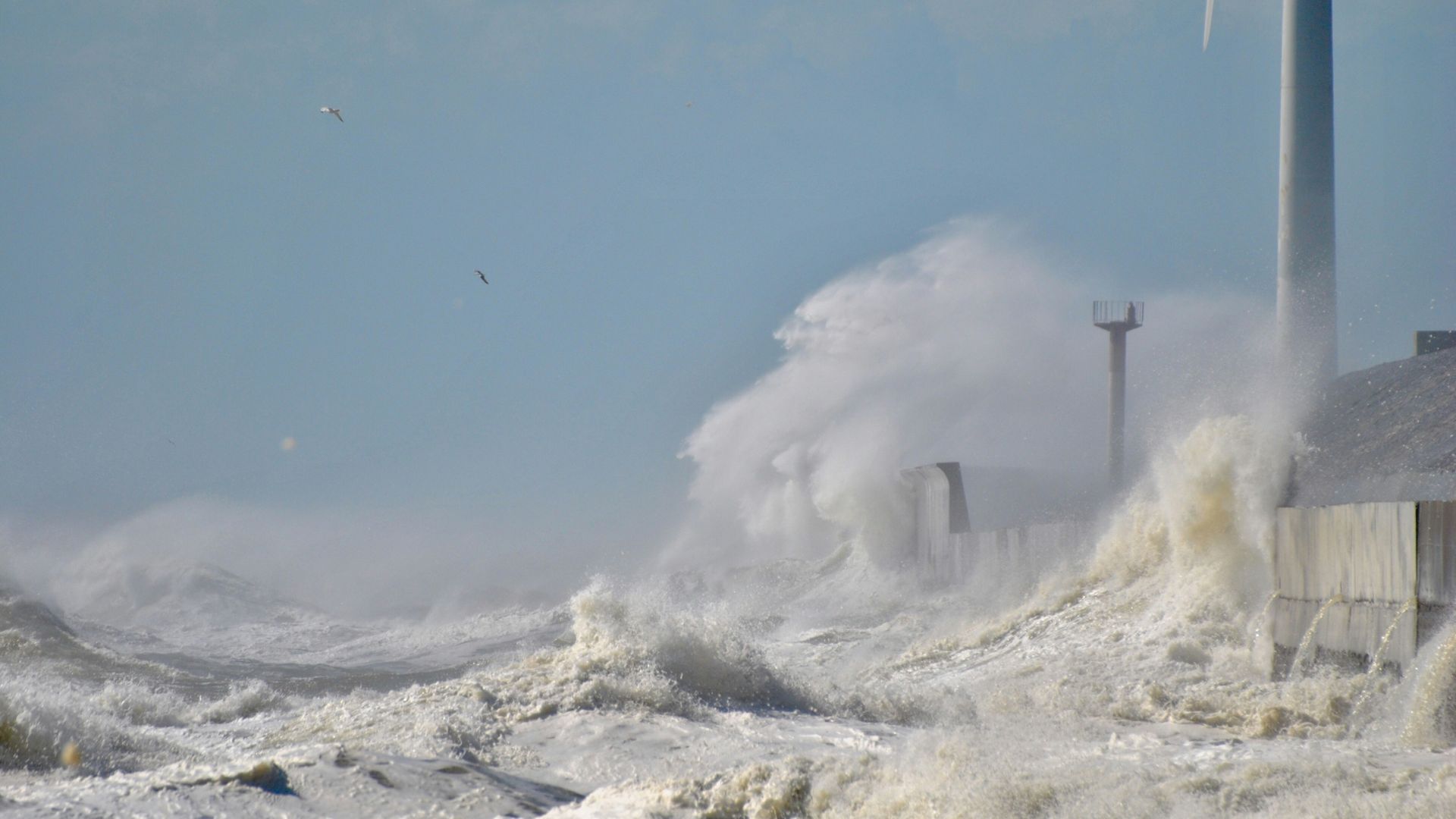
Unfortunately, many analysts believe much of the West Coast isn’t properly prepared for what this zone could emit. If a powerful earthquake from the Cascadia Subduction Zone occurs, it could result in the ground shaking for five minutes.
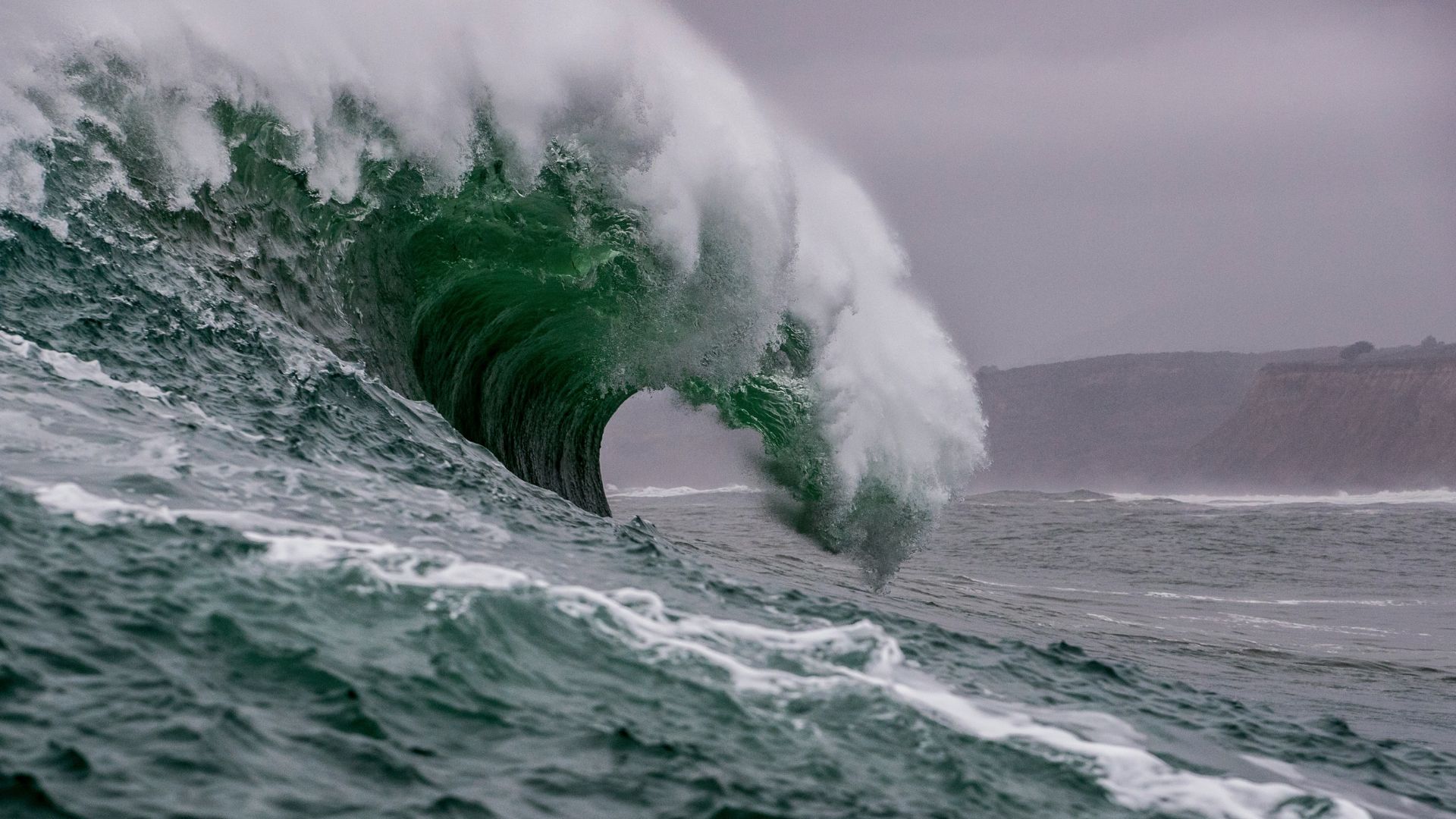
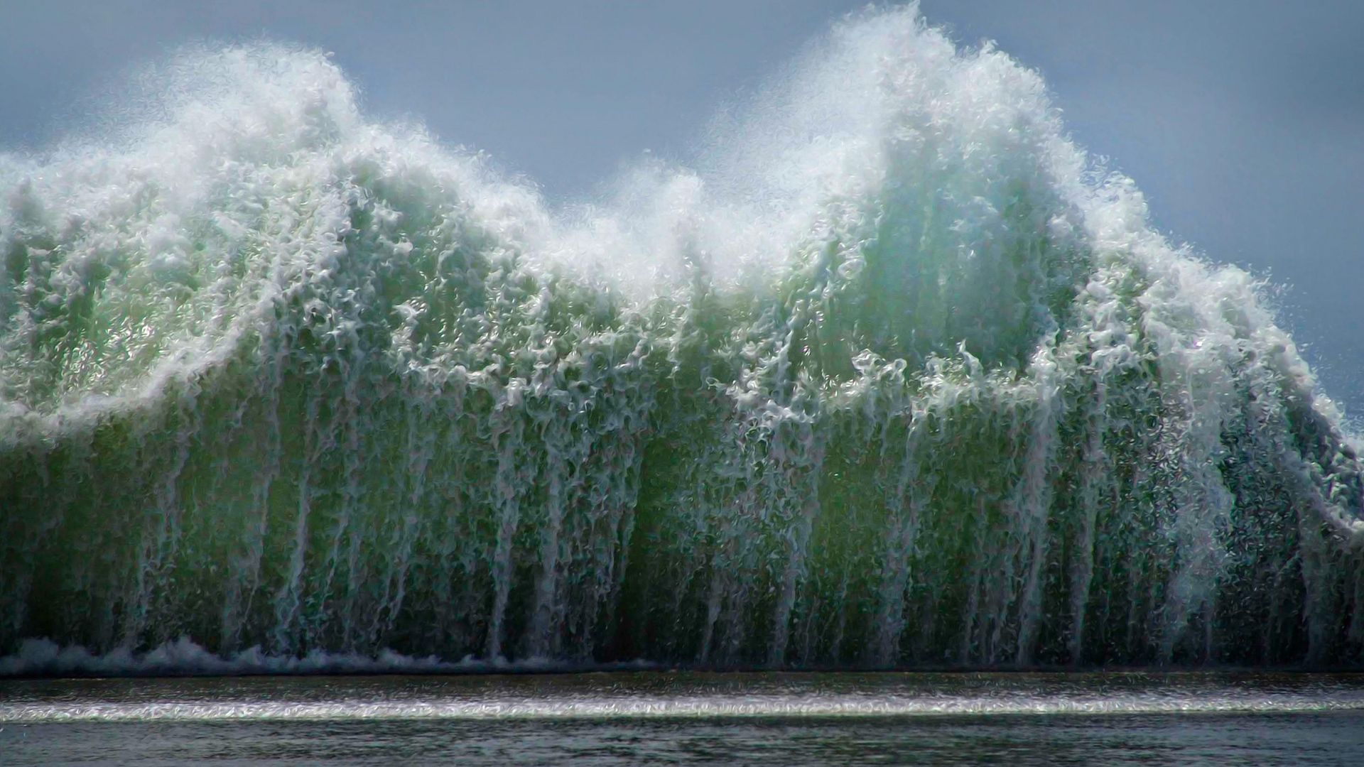
This could also lead to tsunami waves reaching up to 80 feet tall. These tragedies combined could result in more than half a million buildings being damaged.
Preparing for the Future
Now that the Cascadia Subduction Zone has been mapped for the first time in history, researchers are hoping this data can help the West Coast prepare for the future.
Wang explained, “The accuracy and this resolution is truly unprecedented. And it’s an amazing data set. It just allows us to do a better job to assess the risk and have information for the building codes and zoning.”