
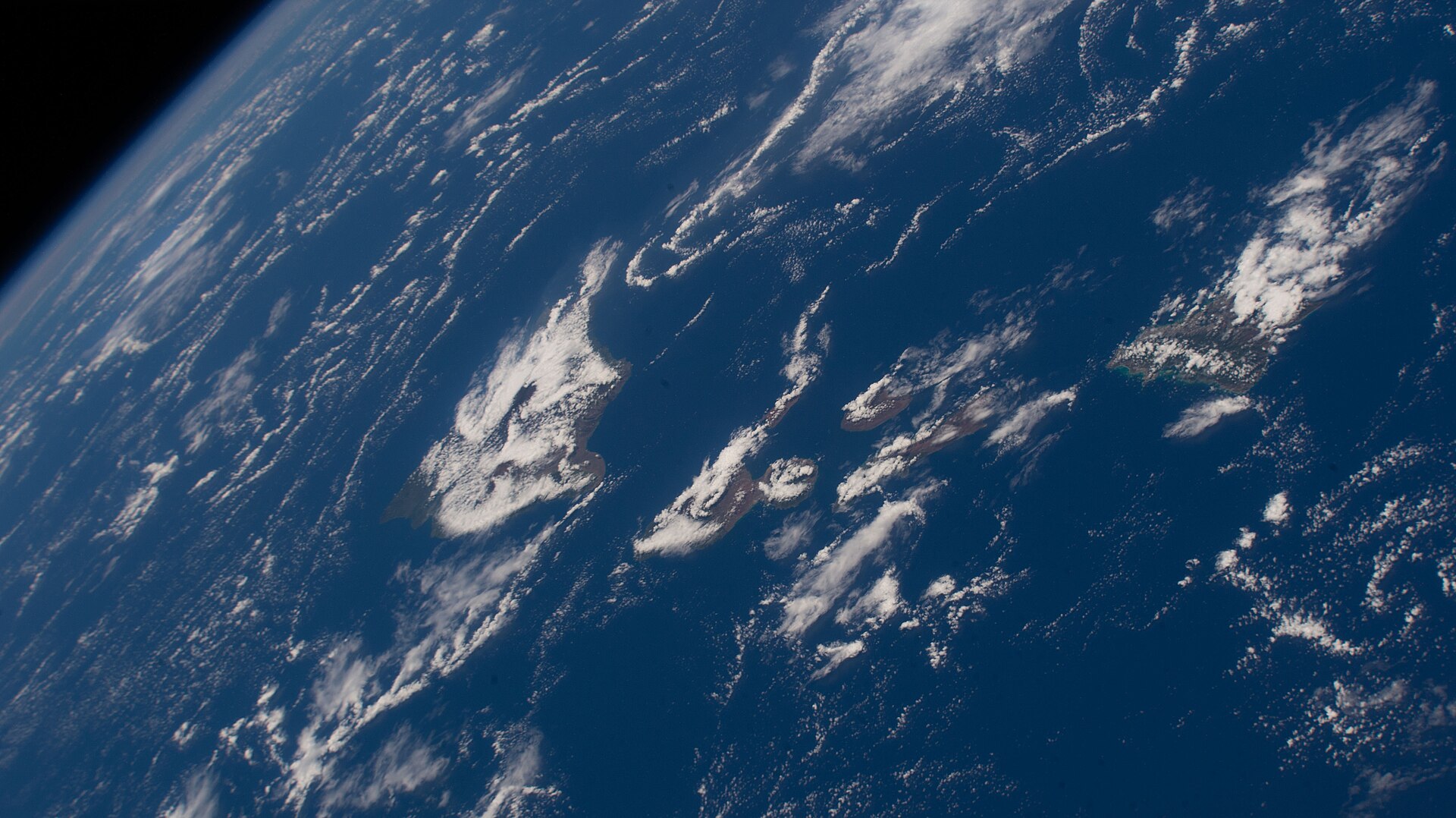
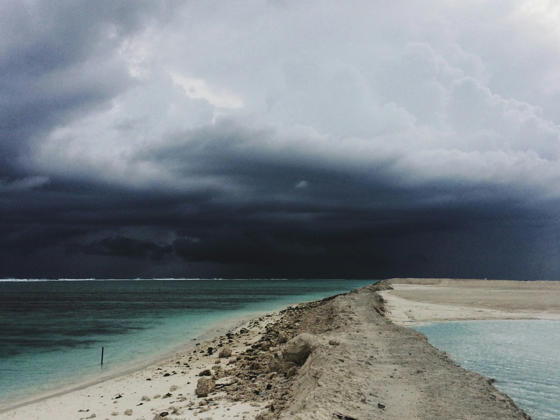
On Tuesday, three tropical systems were captured on satellite video swirling in the Pacific Ocean close to Hawaii.
Tropical Storm Hone passed by Hawaii on Monday, carrying heavy downpours and flash floods to the Big Island, as well as blackouts and damaged trees. According to the National Hurricane Center, Tropical Storm Hone had maximum sustained winds of 52 miles per hour as of Tuesday evening. It was located west of Hawaii.
High Wind Speeds
Hawaii is being approached by two additional tropical storms. The maximum sustained wind speeds of Tropical Storm Gilma, which was recently downgraded from hurricane status, were 63.25 mph, roughly 10 mph less powerful than a Category 1 hurricane.
The maximum sustained wind speeds of Tropical Storm Hector, which was following Gilma, were measured at 51.75 mph.
CIRA Report
Hawaii was caught between the three storms in satellite imagery from the Cooperative Institute for Research in the Atmosphere.
CIRA wrote on X, “Three storms in the central and east Pacific Ocean participate in a conga line. Newly-formed Tropical Storm Hector and Hurricane Gilma churn over open waters while Tropical Storm Hone moves to the west of Hawaii.”
Close Call
Despite the fact that some models predict landfall among the islands, spaghetti models—computer models that illustrate a storm’s predicted path—show Gilma skirting north of Hawaii by this weekend.
Given that Tropical Storm Hector is further from Hawaii, its path is uncertain, but if it stays organized, it could pass either north or south of the Aloha State.
Watches and Alerts
Starting Tuesday evening, no tropical storm watches or alerts were set up in Hawaii. On Tuesday night, a tropical storm warning for the waters around Hawaii was lifted.
Tina Stall, a meteorologist with the National Weather Service (NWS), told Newsweek that she doubts that a tropical storm warning or watch will be issued for the approaching storms later in the week because Gilma is expected to weaken into a tropical depression by the time it arrives.
Hector’s Arrival
Stall added that, although predictions are subject to change, Hector is anticipated to be virtually nonexistent by the time it arrives.
Maalaea Bay, Pailolo Channel, Alenuihaha Channel, Big Island Leeward Waters, and Big Island Southeast Waters were still under small craft advisory based on the activity of the tropical storms.
“Likely be Minimal”
According to a forecast from the NWS Honolulu, the approaching storms should have few effects based on their waning strength as they near the islands.
The forecast stated, “Local impacts will depend on Gilma’s track, but will likely be minimal.” Tropical Storm Hector is also supposed to weaken as it approaches Hawaii.
“Weak Surface Trough”
According to the forecast, “Finally for the last current tropical cyclone of interest in the eastern Pacific, remnants of Tropical Storm Hector will follow closely behind Gilma as potentially a weak surface trough with a diffuse moisture plume sometime Saturday night into Sunday”
“Little to no impacts are expected from Hector at this time.”
Pacific Hurricane Season
Compared to the Atlantic Hurricane Season, which typically produces storms that more frequently impact the U.S., the Pacific Hurrican Season has experienced heightened activity with seven named storms recorded already.
Hurricane Gilma which formed on Wednesday in the Pacific is the ocean’s second hurricane of the season although it is unlikely to have land impact.
NWS Update
According to the NWS in a recent update, “Tropical Storm Hone, located about 620 miles east-southeast of Hilo at 5 am HST, is expected to gradually strengthen and continue moving toward the west over the next couple of days.”
“The latest forecast track brings the center of Hone near or south of the Big Island from Saturday night into Sunday morning as a strong tropical storm. Hone will then strengthen to a Hurricane late Sunday into Monday as it passes south of Kauai and Oahu.”
Threat of Rain
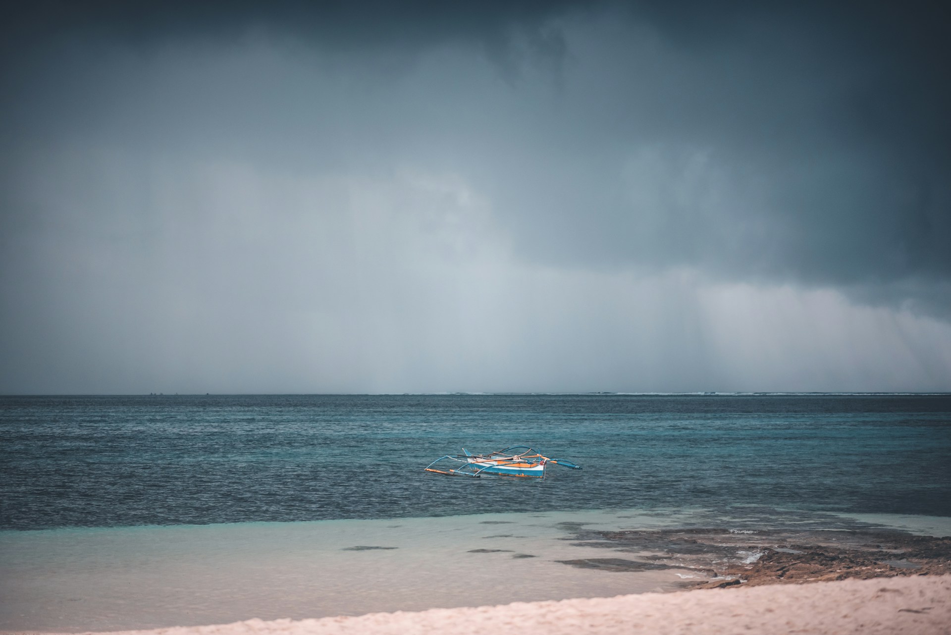
John Bravender, an NWS meteorologist, stated that rain will be a threat to the Big Island, especially on the east and southeast sides of the island.
There isn’t much threat of storm surge flooding but flooding could occur from heavy rain. Additionally, powerful winds connected with the storm are expected to hit the Big Island by Saturday night.
Infrastructure Damage

The hazardous winds could cause damage to infrastructure such as porches, awnings, carports, or sheds according to NWS meteorologists.
Winds may be powerful enough to snap large tree limbs with some trees being uprooted by the storm as well.
Debris could cause roads to become impassable as well as “scattered power and communication outages.”