Weather experts are tracking five new tropical disturbances that have popped up in the Atlantic, warning that this activity could eventually lead to the formation of deadly storms or hurricanes.
These five disturbances come after a relatively quiet hurricane season in the Atlantic this year. This quietness of the Atlantic has caused some experts to explain that the whole thing was rather eerie.
Five New Disturbances
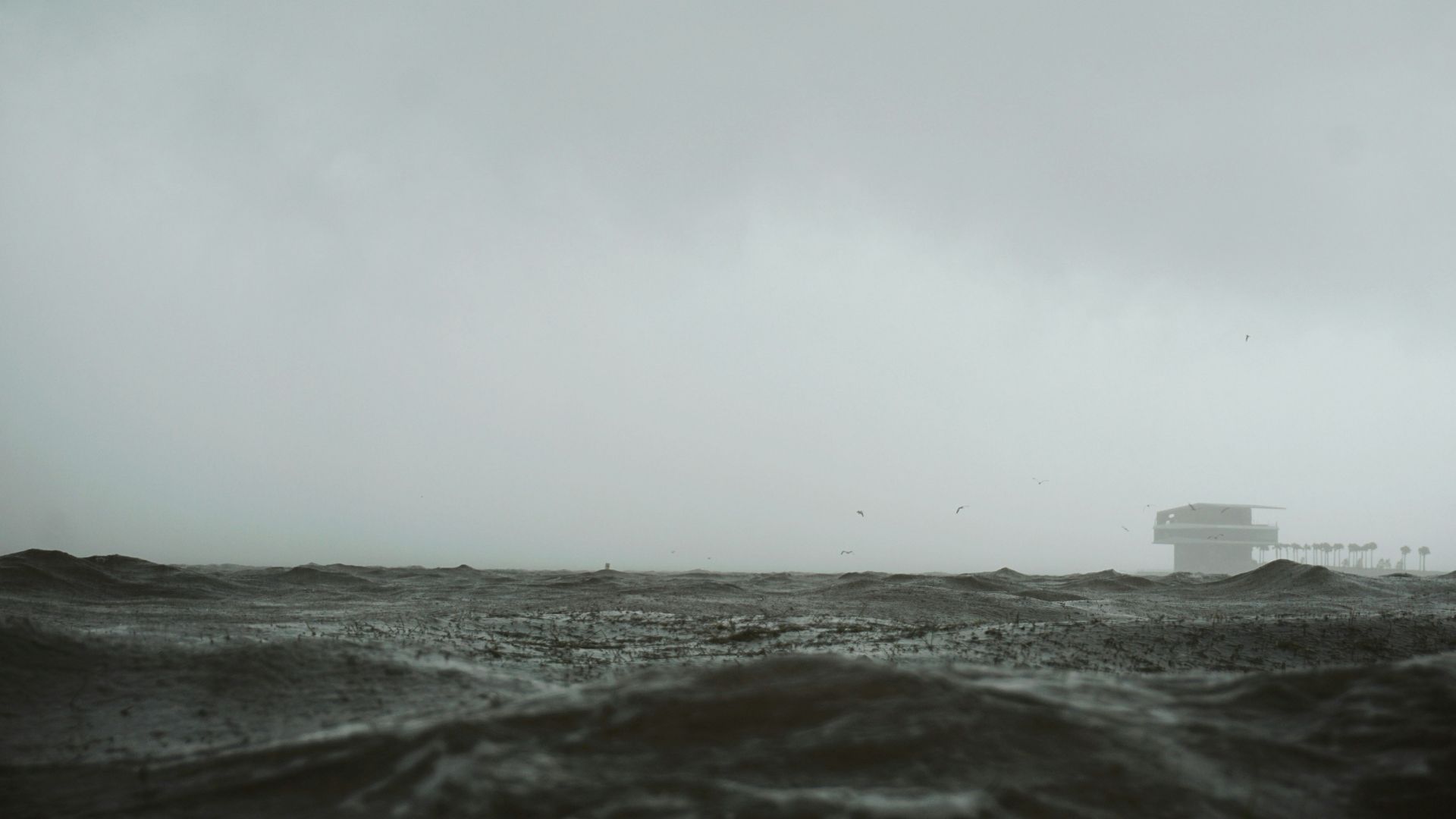
The National Hurricane Center has revealed that they are tracking five tropical disturbances in the Atlantic Ocean.
This news comes as the ocean continues to heat up, which makes it ideal for the formation of tropical storms and hurricanes.
A New Uptick
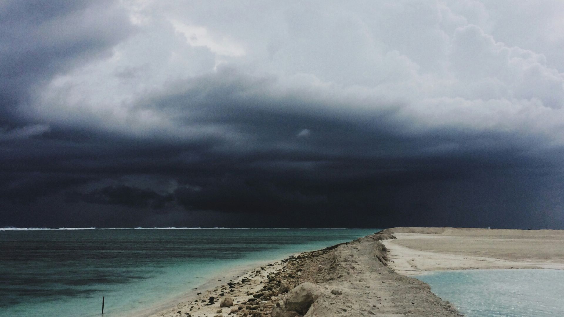
These five disturbances come as the Atlantic sees a quick uptick in overall activity after lying particularly quiet over the last few weeks.
Only a few disturbances appeared in the Atlantic recently, which stunned weather experts, especially as the Pacific Ocean has seen more named storms this year than the Atlantic.
An Active Hurricane Season?
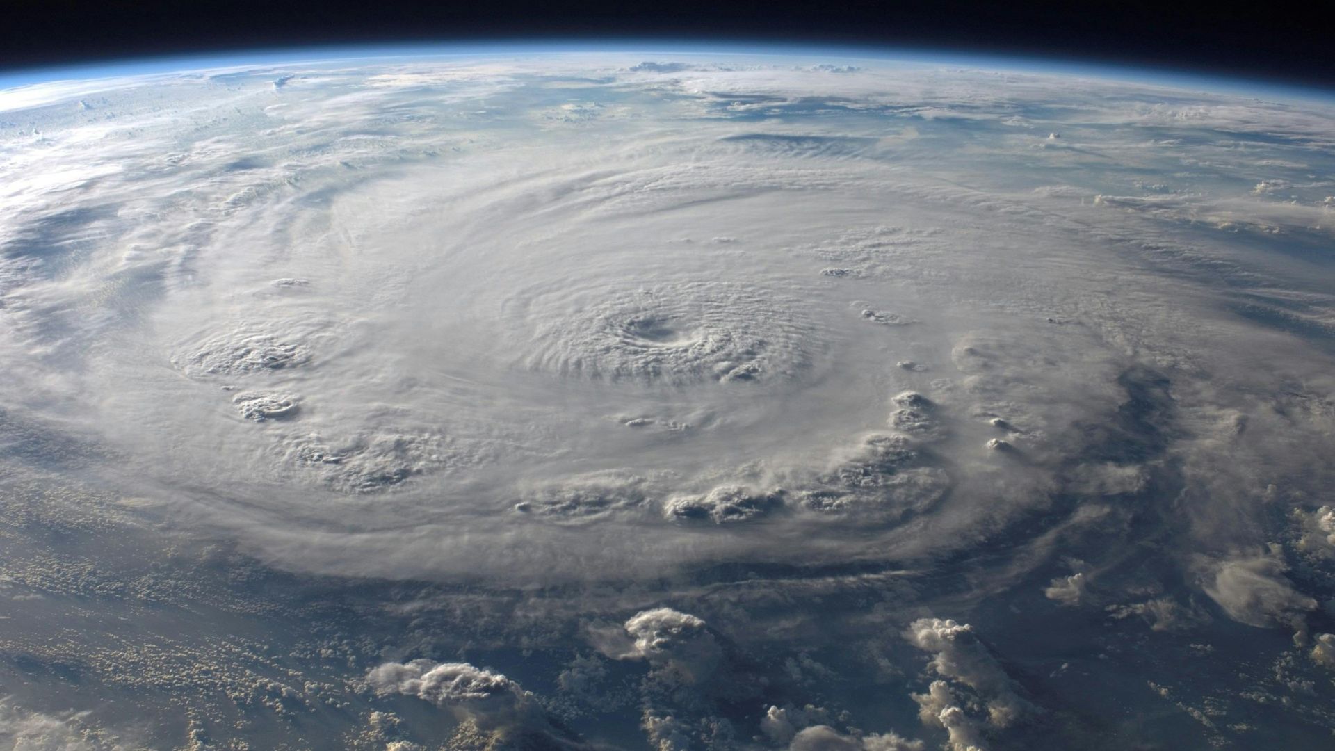
Before the hurricane season even started, weather experts warned the public that this year would be full of active weather events. People on the coast began to prepare for the possibility of many hurricanes.
However, this forecast hasn’t necessarily come true. While a Category 5 hurricane formed at the beginning of the season, the rest of the summer has brought relative calmness and inactivity.
Developing Disturbances
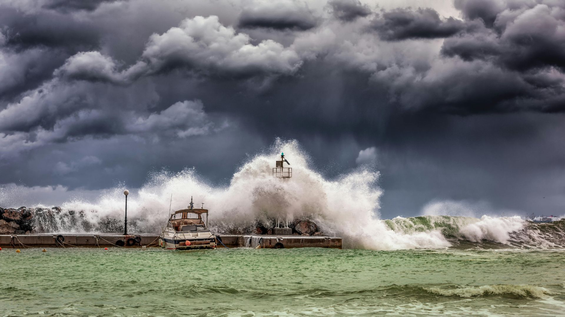
The NHC has also explained that these five new disturbances aren’t likely to continue to develop anytime soon.
So far, the highest chance of development of these disturbances is only at 30%. Therefore, there isn’t any great anticipation yet that these disturbances will form into something significant.
A Disturbance Off the Coast of Texas

Texas officials are closely watching one of these disturbances off the state’s coast. Many disorganized thunderstorms and showers are currently seen in the Gulf of Mexico.
However, forecasts so far haven’t anticipated that these storms will develop anytime soon.
Is Activity Picking Up?

Though none of these current tropical disturbances have a high chance of forming into something severe — yet — weather experts are still keeping an eye on them.
After a relatively quiet August, some analysts are now wondering if the Atlantic will finally see an uptick in activity this September.
The Peak of the Hurricane Season
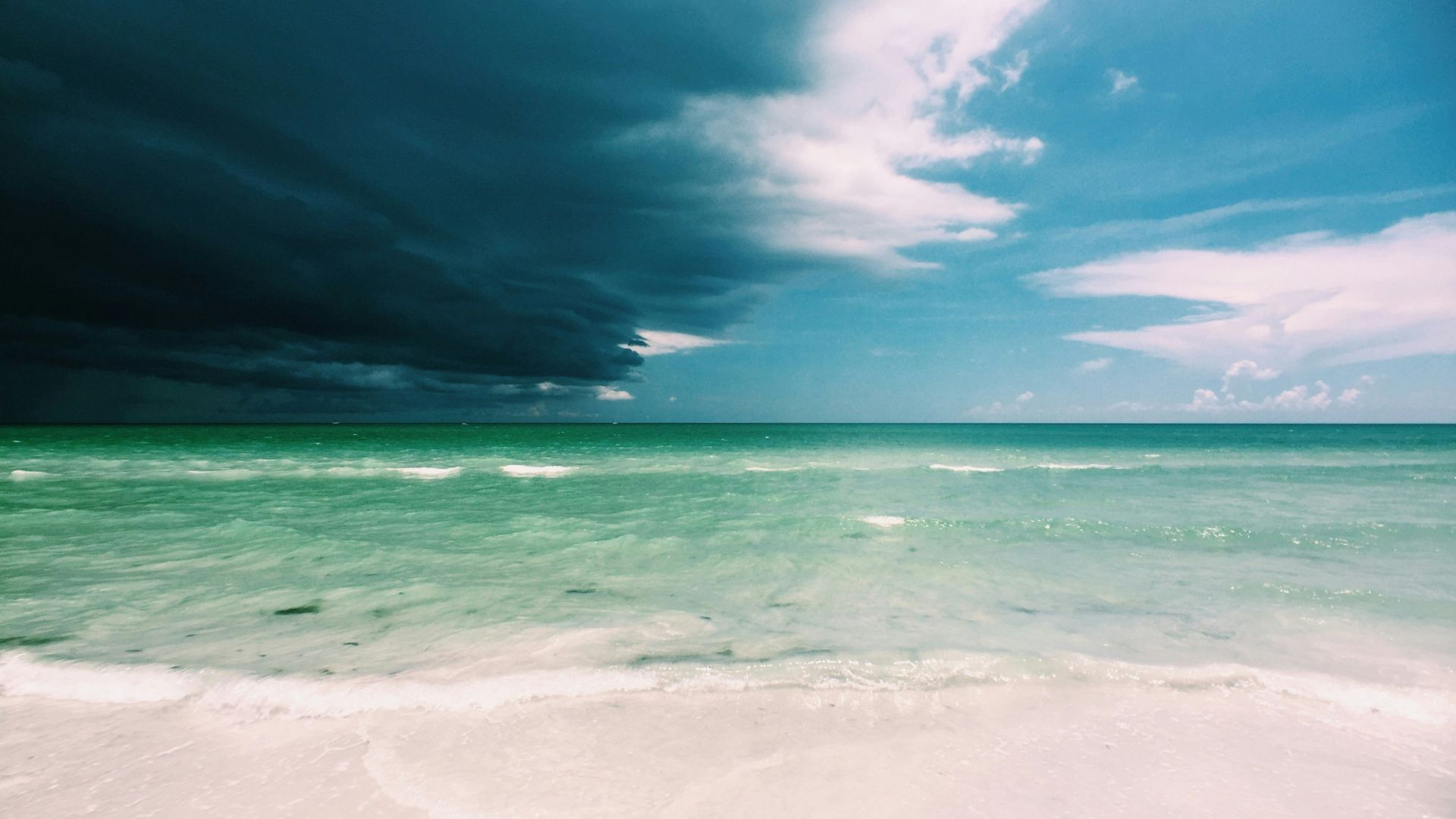
The peak of this year’s hurricane season is soon upon us, as many hurricanes can often be seen in September.
However, this year has been unusual. Though experts originally forecasted that this year would be incredibly active, this hasn’t happened at all. Therefore, experts are wary about what September could potentially hold.
A Bust?
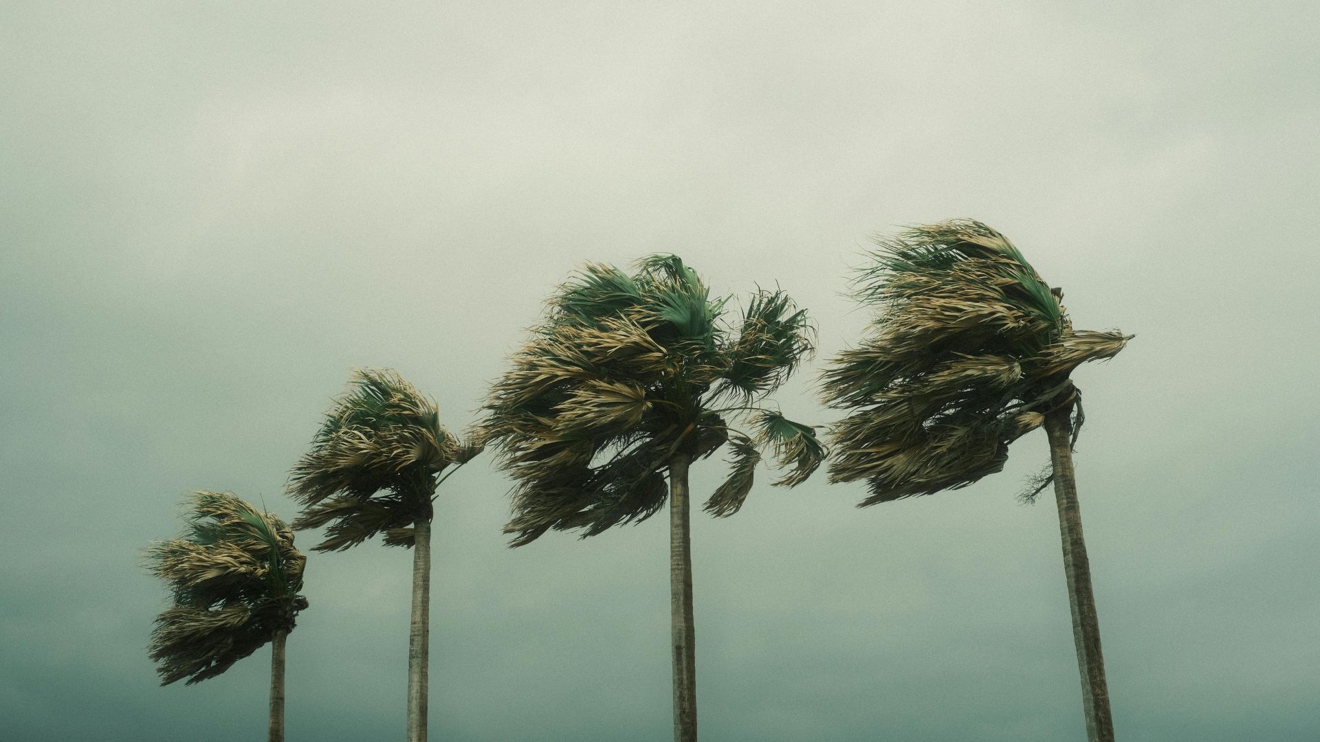
Dan Harnos, a NOAA Climate Prediction Center meteorologist, has explained that this year’s hurricane hasn’t been a bust yet, saying it’s too early to dismiss it.
Harnos stated, “The typical peak of the season is not until Sept. 10, while more hurricane activity historically occurs following the peak than prior to it.”
Will We See More Hurricanes This Year?
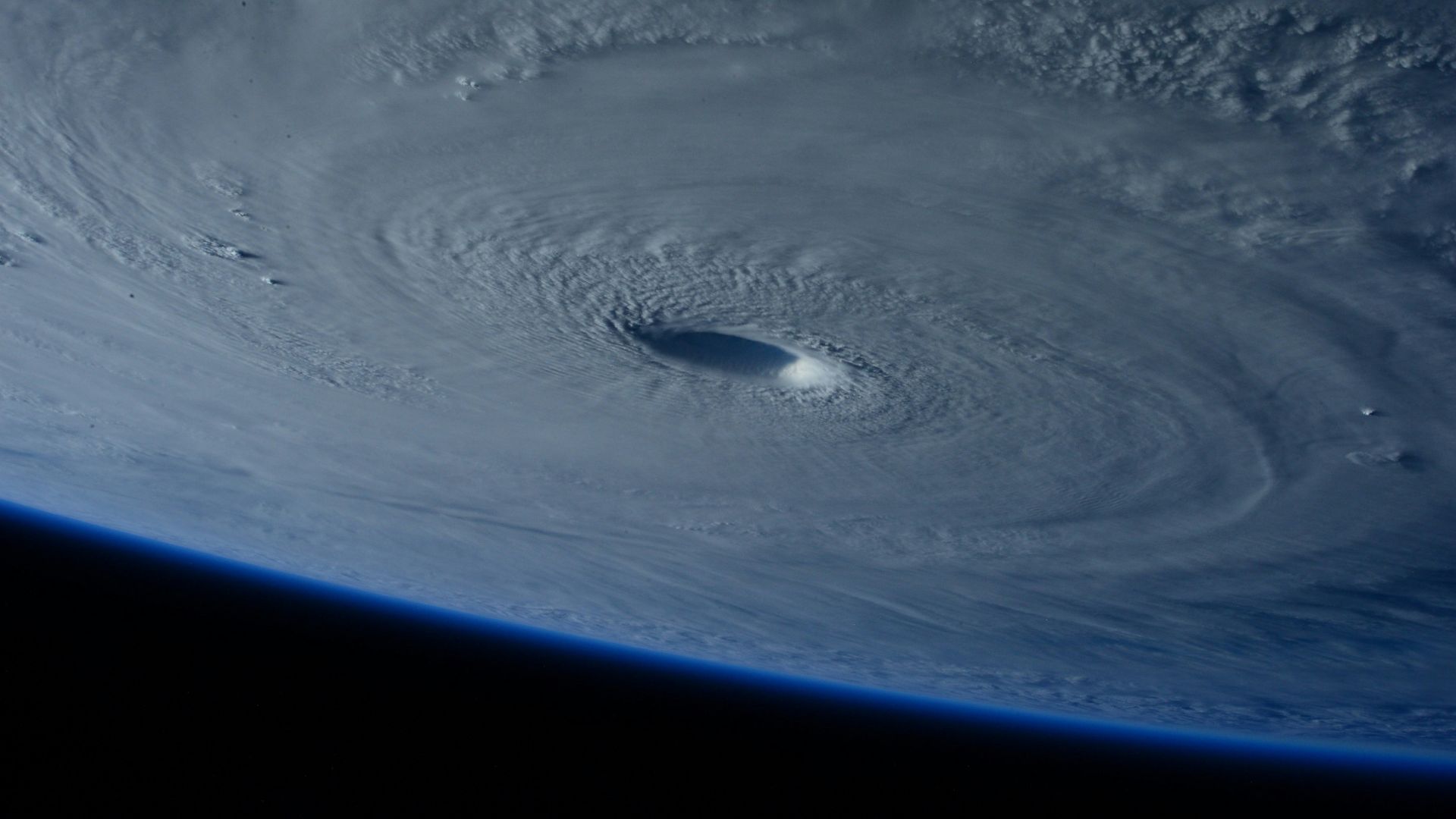
According to Harnos, we may see more hurricanes this year, particularly after the peak of the season hits.
However, a variety of different factors have to come into play to truly allow this to happen. If these factors don’t work just right, then we may not see any major hurricanes at all.
Storms Need to Shift
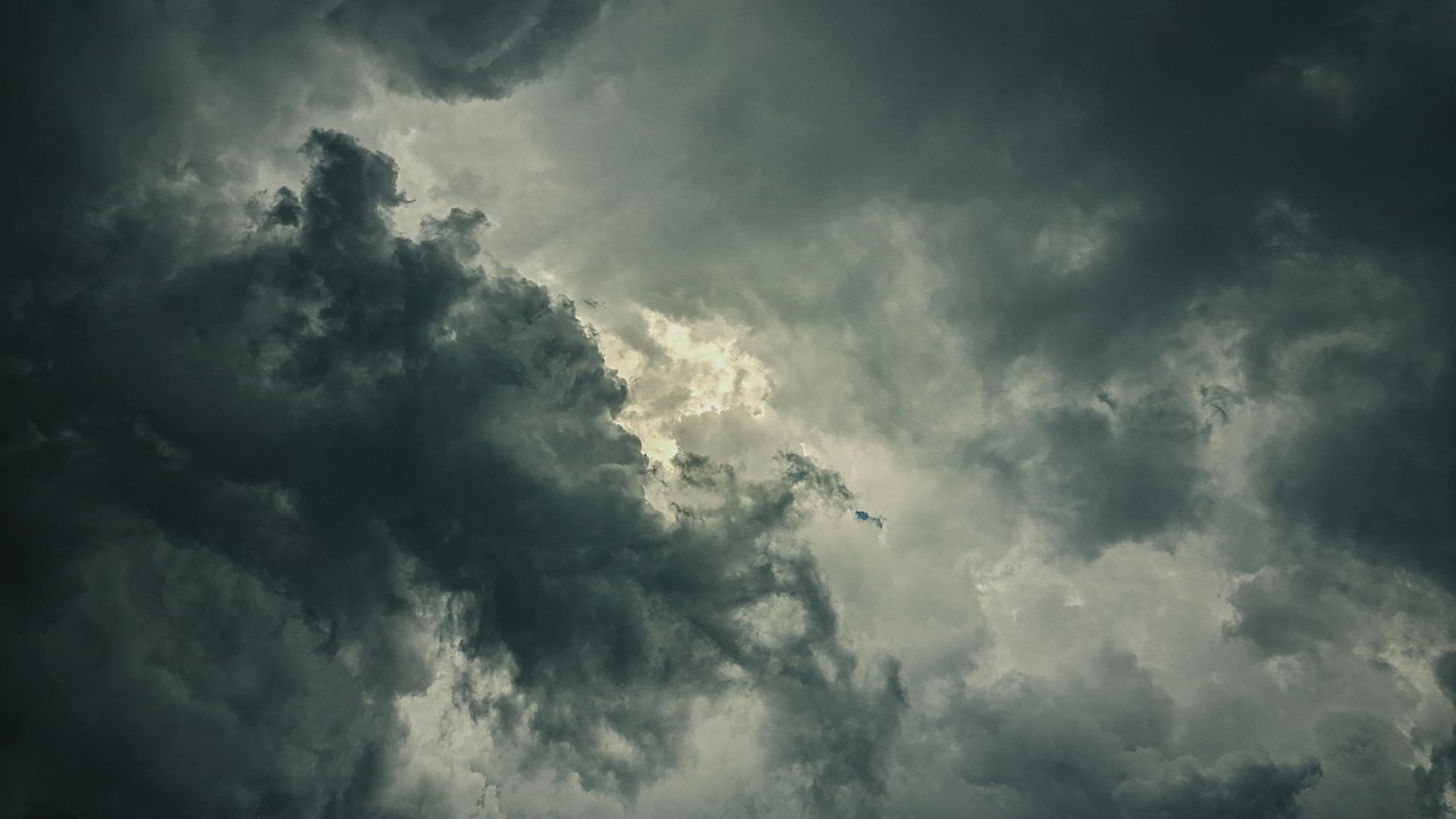
If we’re to see more hurricanes before the end of the season, then the storm track across Africa must shift. So far, these storms have moved north and into a cool Atlantic.
If these lines of storms move slightly and head south, then they could find warmer ocean temperatures — which would allow for tropical storms and hurricanes to better form.
Warm Air May Be to Blame

Warmer air has also helped to suppress the formation of hurricanes, as it has been keeping moist air near the ocean’s surface. As a result, hurricanes haven’t been able to thrive.
However, as autumn rolls in, this warmer air could begin to cool, which could potentially help the formation of storms and hurricanes before the hurricane season is over.
