This year, California is seeing an unusual spike in earthquake activity, the likes of which haven’t been recorded since 1988.
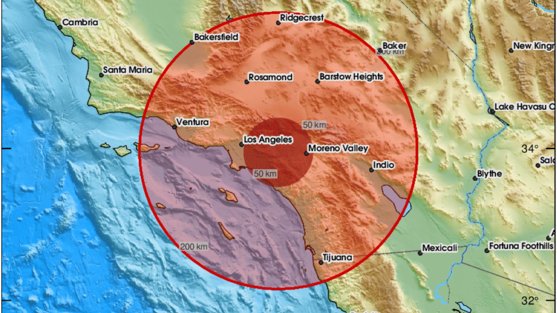
After a recent 4.4 magnitude tremor shook the area near Los Angeles, concerns about a much larger quake loom. Dr. Lucy Jones from Caltech has noted, “2024 has had more earthquakes than any year we’ve seen since 1988.”
An Active Year
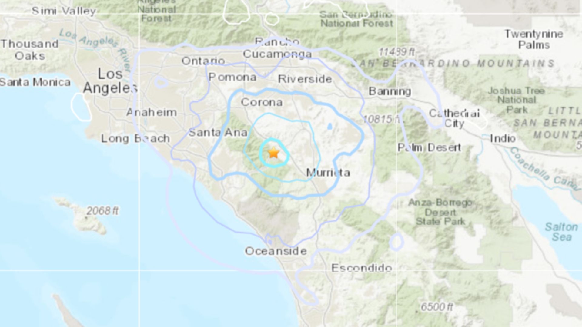
With four months left of the year, California has seen 13 earthquakes with a magnitude of four or above.
Given the period of calm that California has seen until now, Jones warned reporters that “we should expect this to continue.”
The Grim Reality of a Major Quake
Experts are sounding the alarm over the potentially devastating effects of a major earthquake in Southern California.
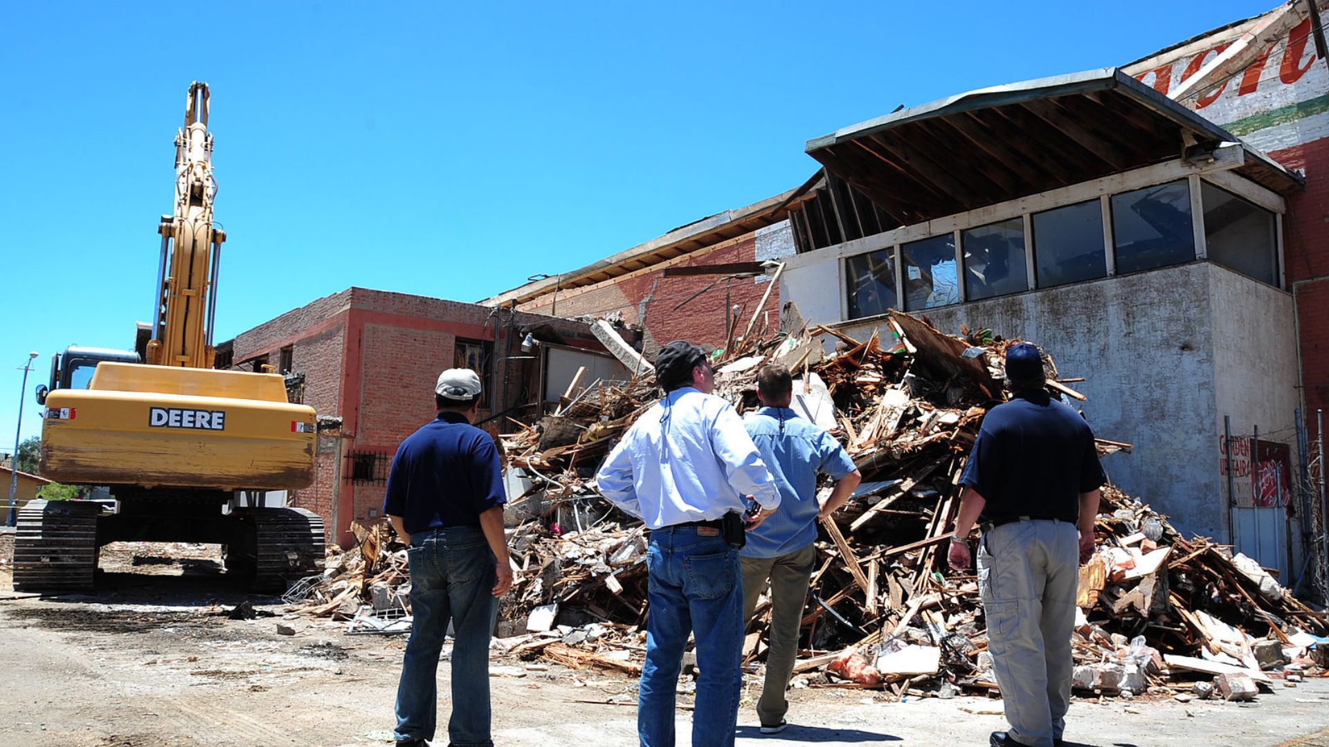
With predictions of a quake possibly hitting 7.0 or higher, the repercussions could be dire: about 1,800 people could lose their lives, 50,000 could be injured and the damage could exceed $200 billion. Dr. Lucy Jones emphasized the rising frequency of these smaller quakes as a serious concern.
Earthquake Myths Debunked
In a recent interview with KTLA 5 Morning News, Dr. Lucy Jones clarified a widespread misunderstanding about earthquakes.
She explained that minor quakes do not actually relieve underground stress but rather indicate an accumulation of it. “The most constant feature of earthquakes is the relative number of large to small,” she remarked.
Deciphering Earthquake Patterns
Dr. Jones shed light on how earthquakes tend to follow a predictable pattern, which can help predict future seismic events.
She said, “For every magnitude seven, you have 10 magnitude sixes, 100 magnitude fives, 1,000 magnitude fours, etc.” An uptick in smaller quakes could be a forewarning of a larger one on the horizon.
A Look Back at Seismic History
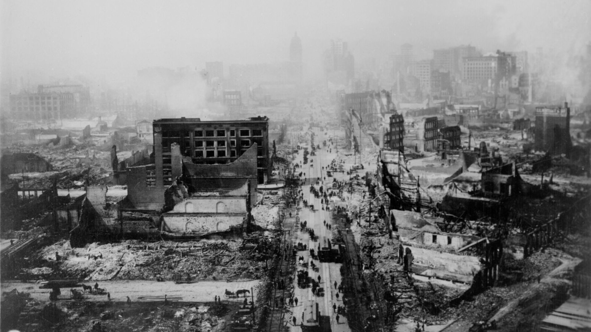
This year’s activity is a sharp increase from recent quiet decades. Dr. Jones reflects, “So, this is an active year, much like we used to see.”
Her comparison draws from data going back to 1932, highlighting a return to patterns of more frequent seismic activity.
The Impact of Recent Quakes

The recent minor quake might not have caused substantial damage, but it illustrates the area’s vulnerability.
Scenes of water bursting from Pasadena City Hall after a quake-induced rupture captured by local media remind us of the potential immediate impacts of even small seismic events.
New Research Supports Concerns
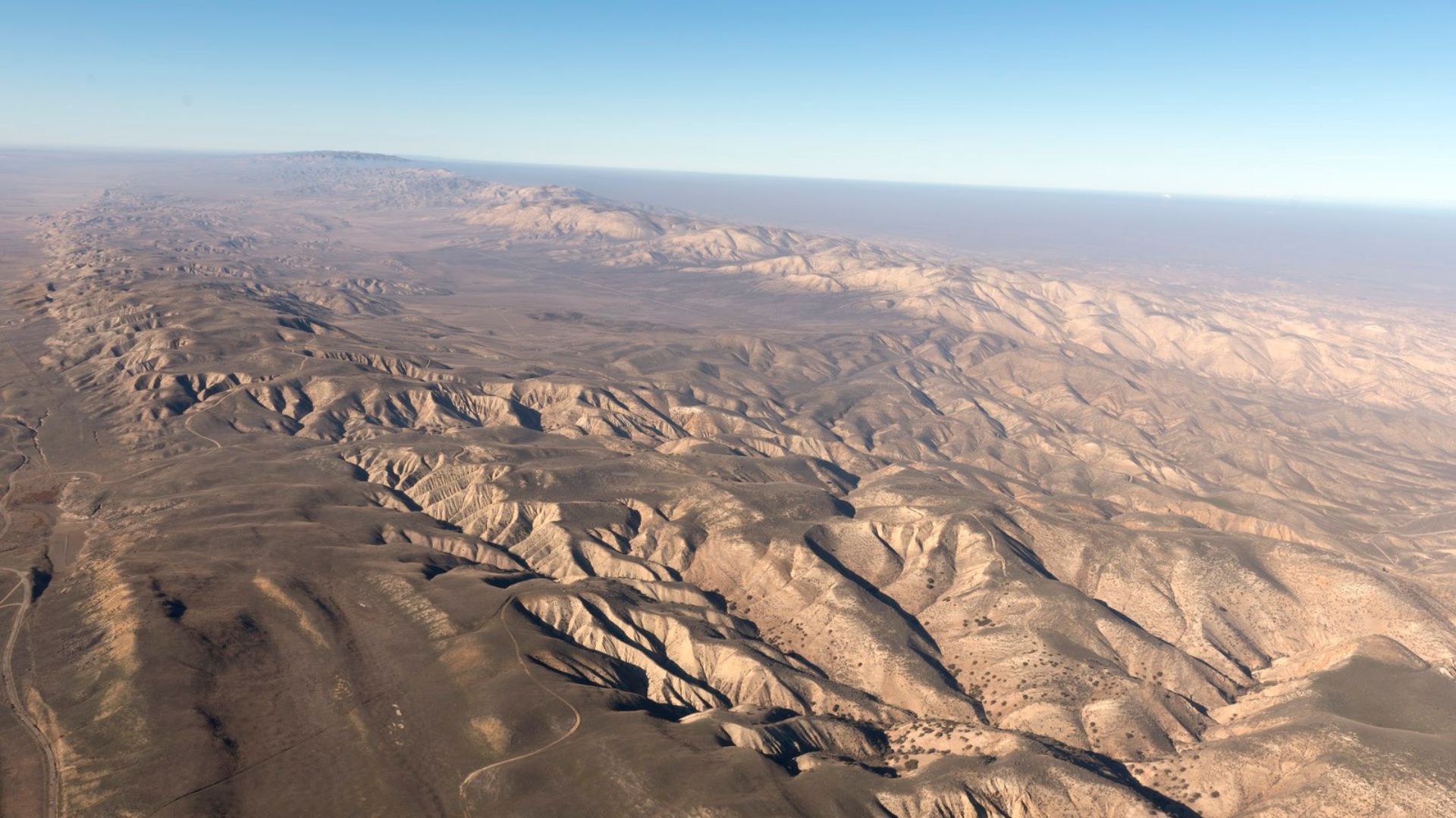
A pivotal study in Science Advances has recently backed up concerns about the risk of significant seismic events.
This research employed sophisticated underwater scanning to analyze fault lines with a level of detail never seen before, providing valuable insights into earthquake risks.
Cascadia’s Hidden Dangers
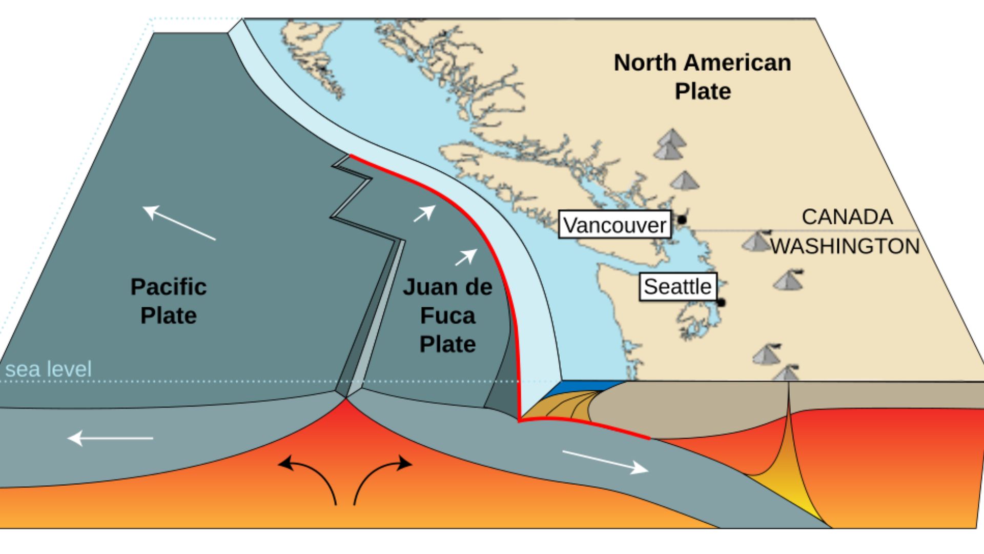
The Cascadia Zone, stretching over 600 miles, is more complex than previously thought, split into four segments.
“The accuracy and this resolution is truly unprecedented,” said Kelin Wang, a Geological Survey of Canada scientist.
What Cascadia’s Complexity Means
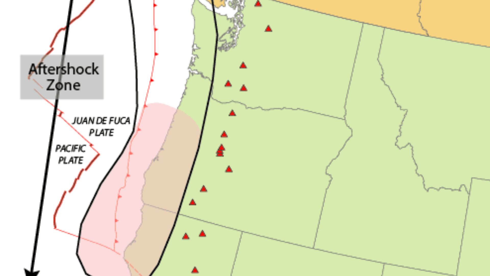
The segmented structure of the Cascadia Subduction Zone implies that interactions between multiple tectonic plates could lead to particularly severe earthquakes.
This new understanding is crucial for assessing the true threat level of the fault line.
What Would the Eruptions Look Like?
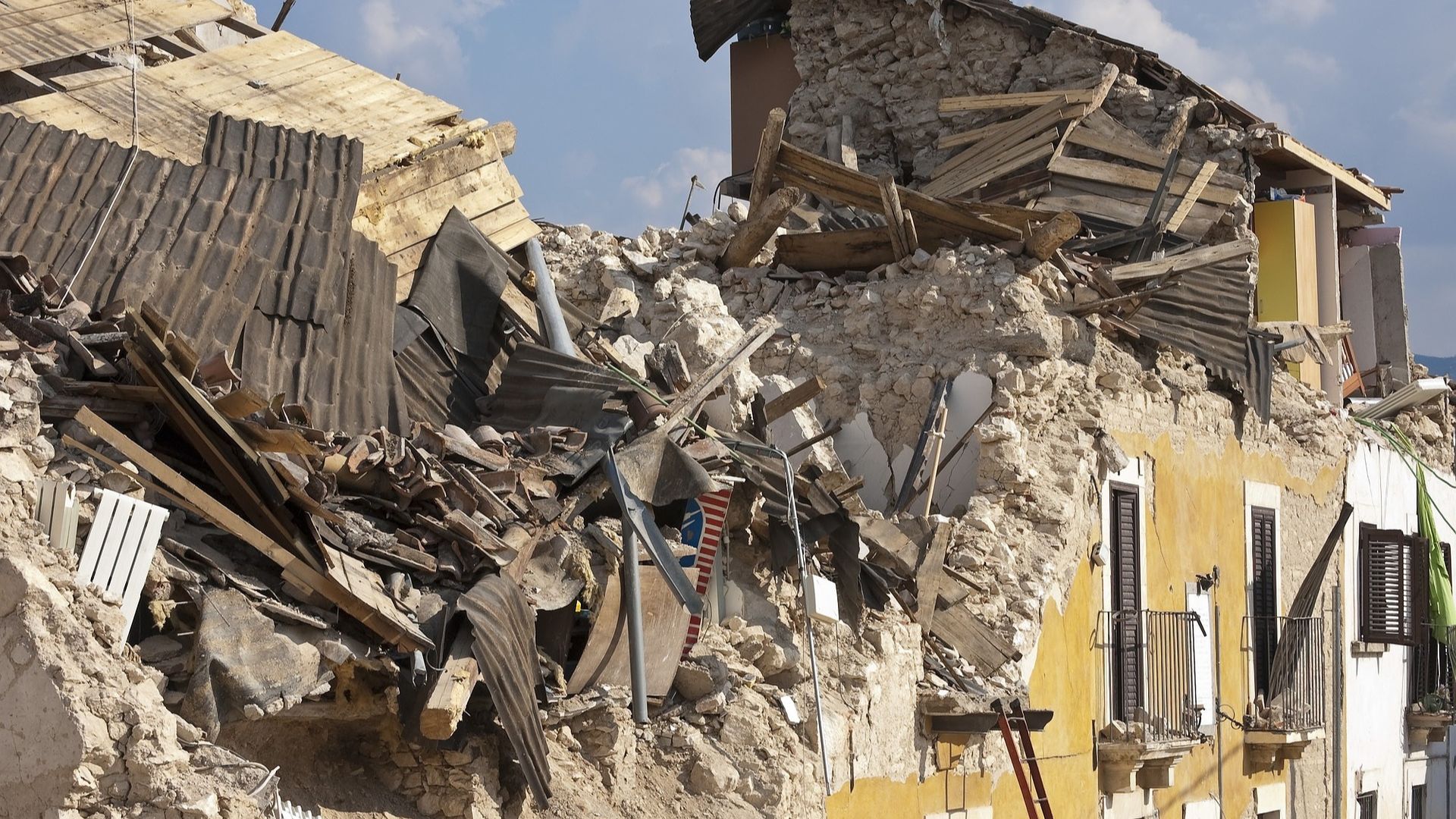
Researchers recently mapped out the Cascadian Zone in the greatest detail yet.
The four segments of the zone could potentially erupt simultaneously or independently. Each section contains different types of rock and seismic traits. This means some areas of the zone could be more dangerous than others.
States Affected by the Cascadia Zone
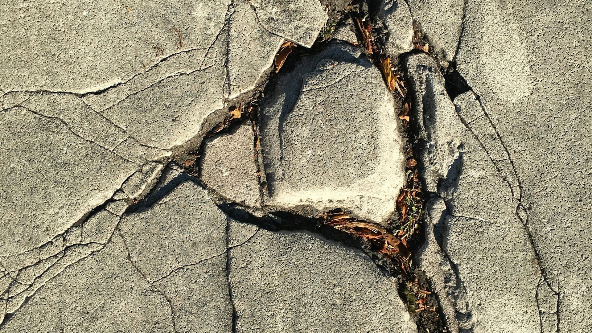
The West Coast states near the Cascadia Zone are all in danger of a devastating earthquake.
The zone runs from Northern California to Vancouver Island. The Cascadia fault separates the Juan de Fuca and North American tectonic plates.
Tsunami Threat Realized
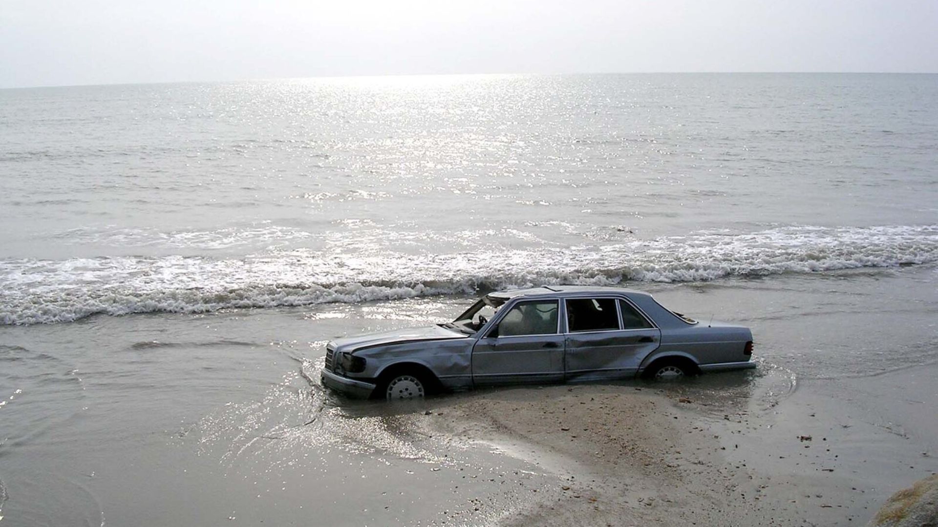
A major quake along Cascadia could send tsunamis crashing with waves over 100 feet high.
The potential devastation could affect millions, with projected damages in the tens of billions just for Oregon and Washington.
Vital Infrastructure Ruined

The danger of a 9.0 magnitude earthquake is not just the shaking. It is also the infrastructure it would destroy.
In a major Cascadia quake, inland hillsides would liquefy, taking out roads and bridges. The earthquake would damage approximately 620,000 buildings, including around 100 hospitals and 2,000 schools.
Lives at Stake
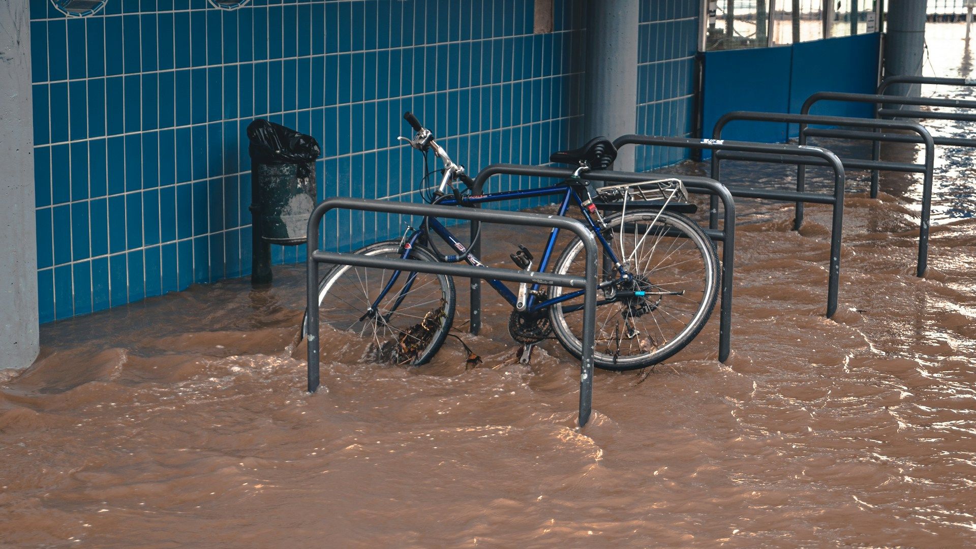
According to the Federal Management Agency, a 9.0 magnitude earthquake would ravage the West Coast.
In the states of Oregon and Washington alone, a major earthquake in the Cascadian Zone would kill around 14,000 people.
Predicting the Big One
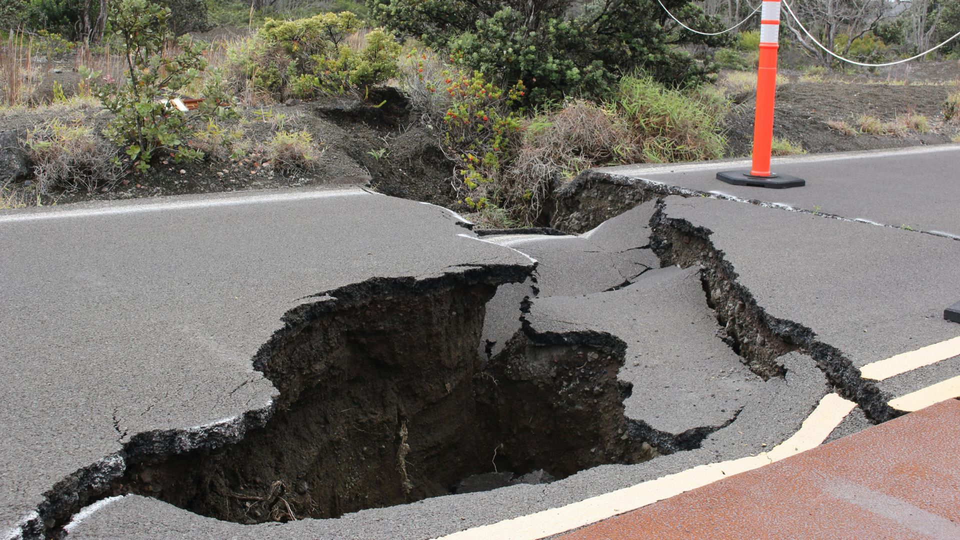
Researcher, Kelin Wang pointed out the historical patterns of major seismic events in the Cascadia Zone, noting, “The recurrent interval for this subduction zone for big events is on the order of 500 years.”
He added, “It is quite late,” indicating that a significant seismic event could be due sooner rather than later.
Ways to Predict a Megaquake
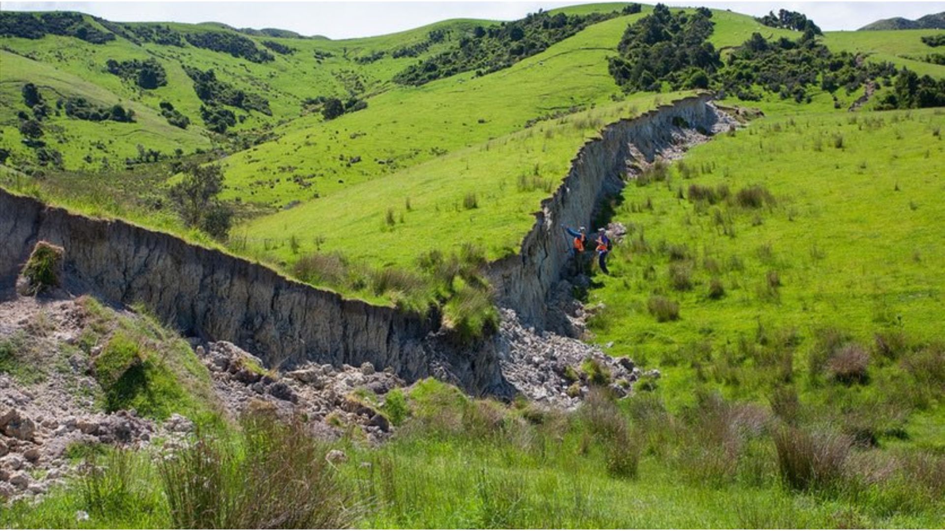
Scientists on the West Coast are finding new ways to predict a major earthquake.
Before the Kaikoura earthquake in New Zealand, there were a series of slow-slip earthquakes. These are quakes that release their energy over weeks or months and do not cause perceptible tremors. Scientists on the West Coast think these may precede larger earthquakes. Therefore, researchers could track slow-slip earthquakes to predict when a natural disaster could take place.
How to Get a Better Picture
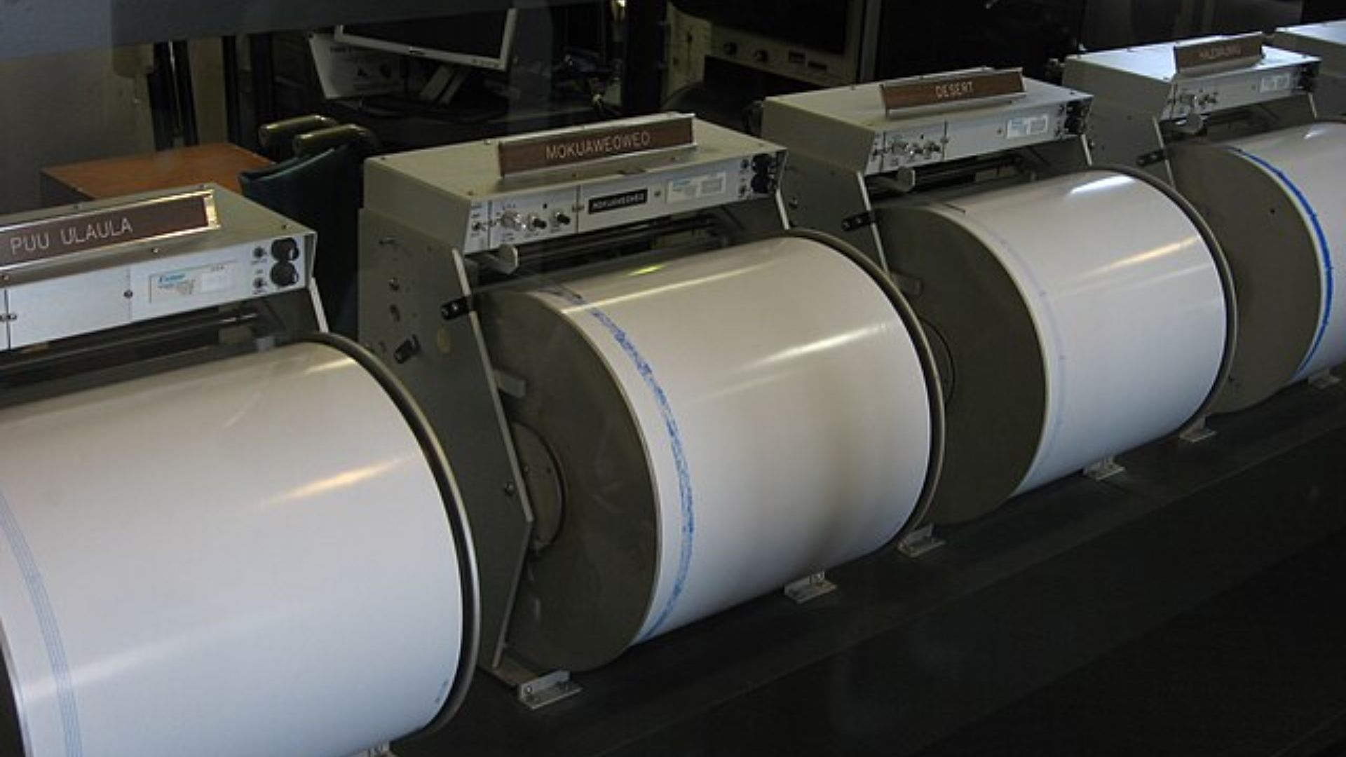
Scientists on the West Coast need a more precise picture of when an earthquake could break out in the Cascadian Zone.
They need more data on slow-slip events, improved mapping on the fault zone and enhanced ability to monitor faults on the seafloor. Japan already has an elaborate array of seafloor sensors. However, David Schmidt, a geophysicist at the University of Washington, said Japan is “one of the few places that have those instruments.”
The Scale of the Disaster
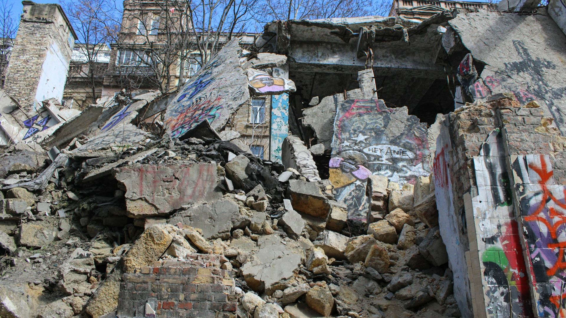
While it is hard to predict when a high-magnitude earthquake will strike, researchers expect it to cause extensive damage.
Robert Ezelle, the director of Washington state’s emergency management, said: “It’s going to be the worst natural disaster in our country’s history.”
Calls for Increased Preparedness

In light of the uptick in seismic activity and the possible impending major earthquake, authorities are strongly advising Californians to bolster their preparedness.
Keeping informed, updating emergency plans and regular earthquake drill practices are recommended to help minimize the impact of potential future quakes.
We Are Not Ready
In times of crisis, it is crucial to stay informed on the advice of local authorities.
However, many states that would be affected do not have a plan to protect residents. Washington state advises residents that they would have to fend for themselves for two weeks if a Cascadian earthquake happened. “It’s going to be neighbors taking care of neighbors,” said Ezelle.
An Investment in Earthquake Monitoring

Seafloor monitoring in the U.S. is behind, especially when a quake in the Cascadian Zone is imminent.
However, a group of researchers have received $10.6 million in federal funding to add seismic sensors and seafloor pressure gauges to a fiber optic cable off the coast of Oregon.
A New Project
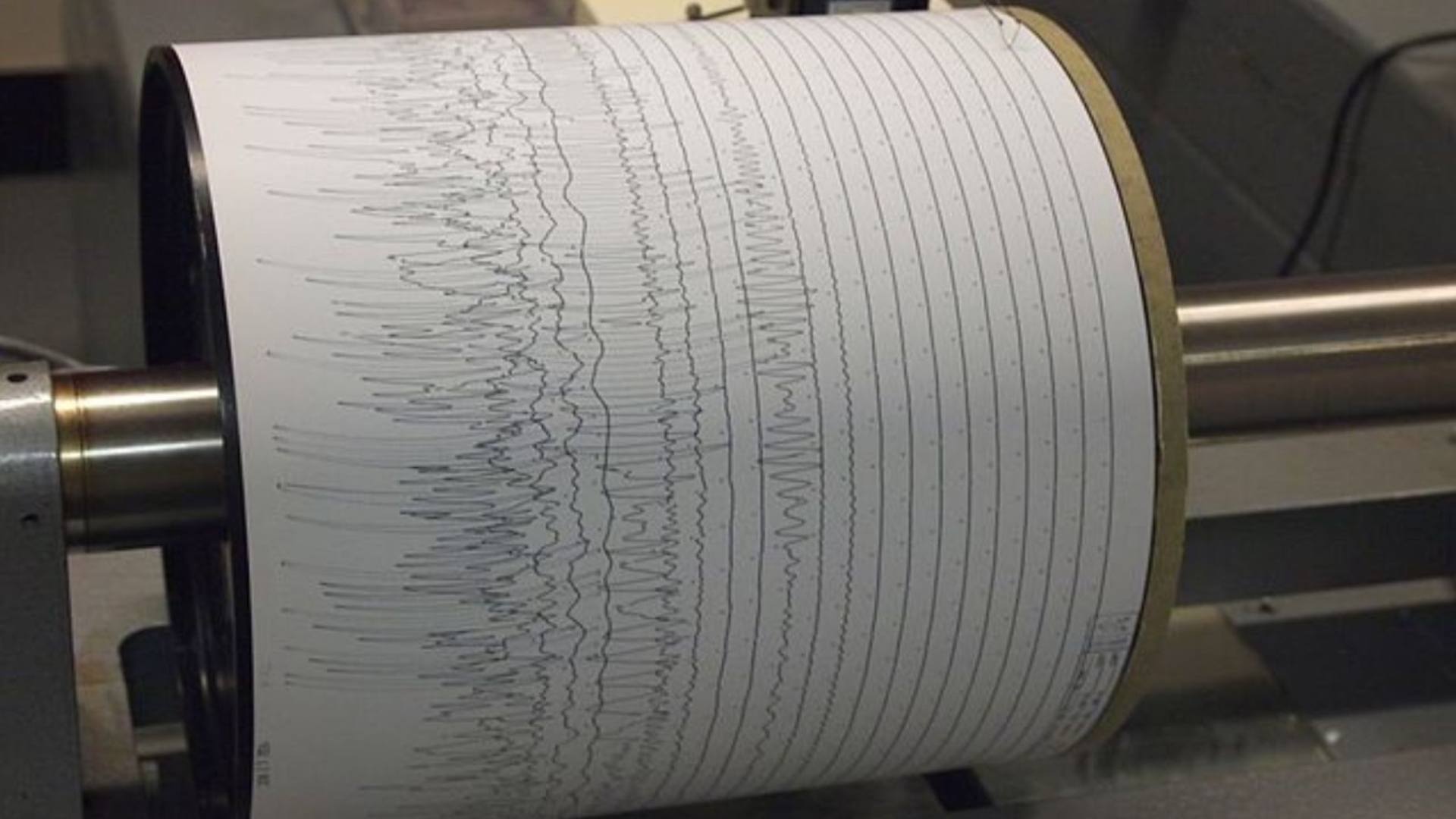
The federal funding went toward a project called “Creating an Offshore Subduction Zone Observatory in Cascadia (COSZO) with the Ocean Observatories Initiative Cabled Array.”
The millions of dollars will be invested in seafloor pressure gauges and seismic sensors. The observatory will be able to produce real-time data to track activity in the Cascadian Zone.
The Future of Earthquake Predictions
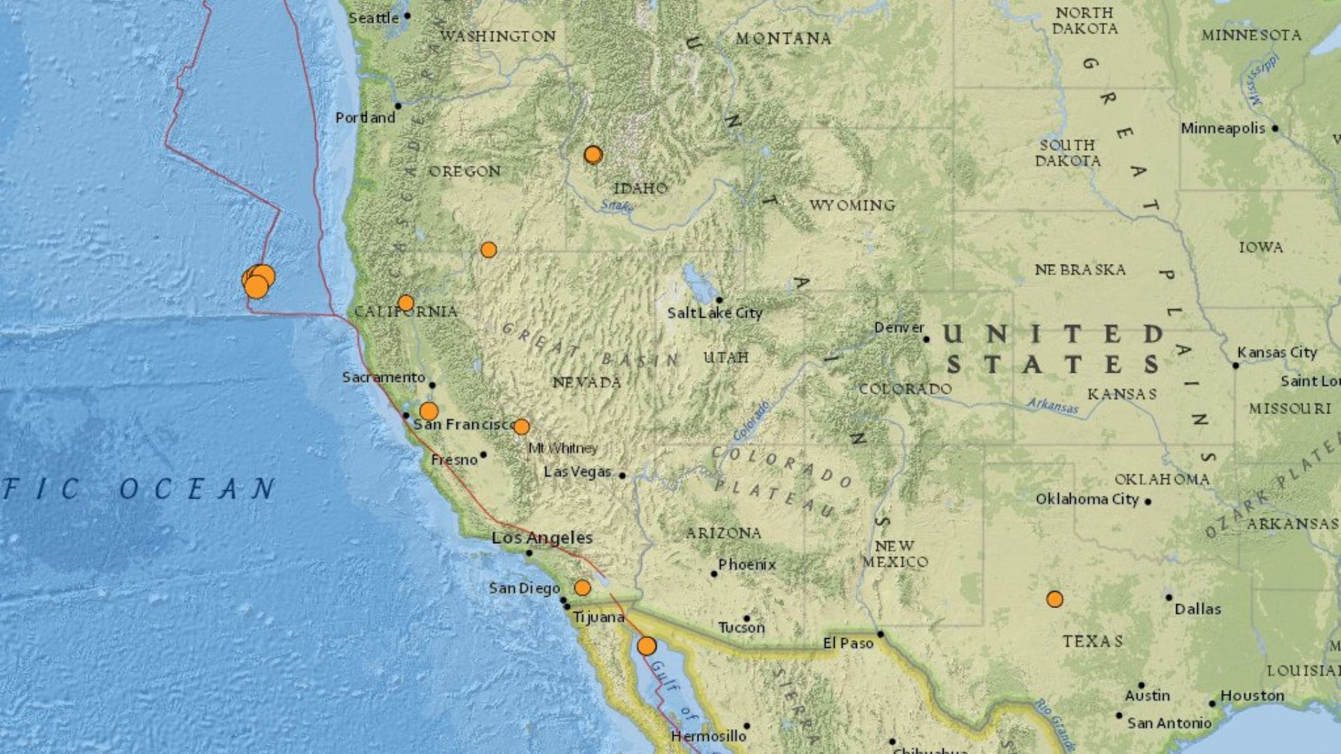
Alexander Scott Halbur/X
At the moment, the Cascadian Zone is a still area compared to other fault lines, which is unusual.
However, we do not have precise data to confirm that. Seismologists say there could be low levels of seismicity, but they do not have the instruments to detect it yet. A seismologist on the project said: “If there are smaller events, we’d like to detect them to yield new insights as to what’s happening.”
